Catalog Archive
Auction 153, Lot 3

"[Lot of 5] North America [and] South America [and] Africa [and] Asia [and] Europe", Johnston, Alexander K.
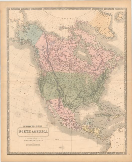
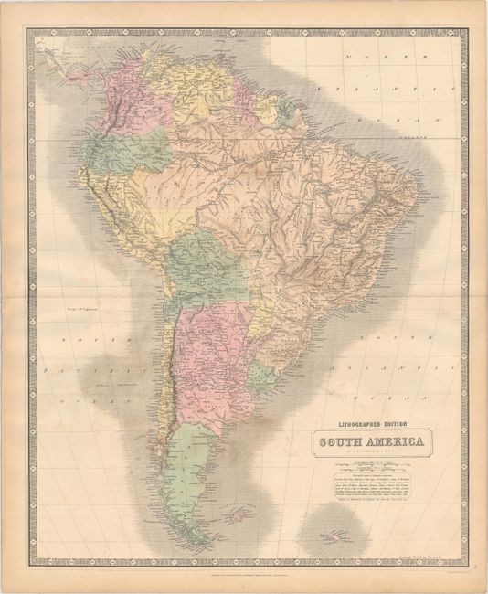
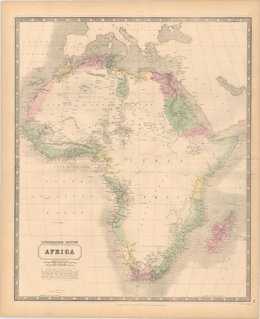
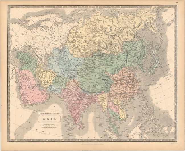
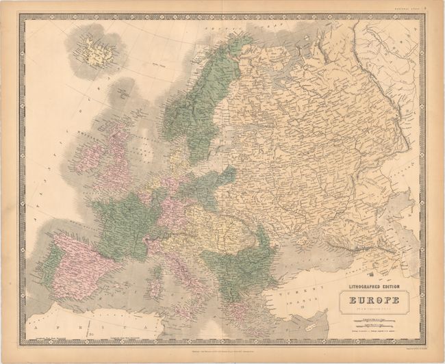
Subject: Continents

Period: 1845 (circa)

Publication: National Atlas

Color: Hand Color

Size:
19.4 x 23.8 inches
49.3 x 60.5 cm
Download High Resolution Image
(or just click on image to launch the Zoom viewer)

A nice set of continents from Johnston’s early lithographed edition of his National Atlas. Each map shows political boundaries, topography, river systems, and numerous place names. Surrounded by keyboard-style borders.

Of particular interest is the map of North America, which shows much of the West in transition. Despite the coloring of the map, the engraved lines depict an independent Republic of Texas with its border extending well north. Upper California occupies the entire southwest and present-day California. Above California is the Oregon Territory and Columbia with a notation below the title stating "The whole of the territory, to the west of the Rocky Mountains, between the Mexican & the Russian boundaries, or between 42° & 54° 40' N. Lat. is claimed by both Gt. Britain and the United States." On the map of Africa, development is confined to the coastline with a huge "unexplored" region in the interior. The map of Asia shows a large Chinese Empire that includes Tibet, Mongolia, and Manchuria with the Great Wall depicted.

References:

Condition: B+

Light toning mostly along sheet edges with a few spots in the image and minor soiling. The map of South America has mildew stains on verso that have begun to show through on recto (B). Backed with very thin linen, apparently as issued.

Estimate: $275 - $350

Sold for: $200

Closed on 5/20/2015

Archived