Catalog Archive
Auction 152, Lot 793

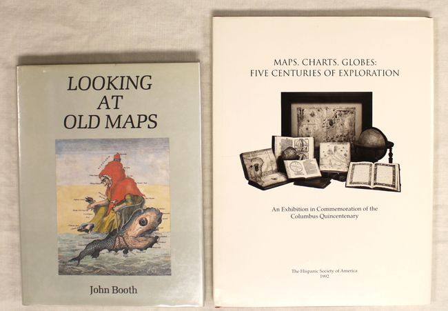
"[Lot of 2] Looking at Old Maps [and] Maps, Charts, Globes: Five Centuries of Exploration",

Subject: References

Period: 1979-92 (published)

Publication:

Color:

Size:
See Description
Download High Resolution Image
(or just click on image to launch the Zoom viewer)

A. Looking at Old Maps, by John Booth, published 1979, black and white (7.9 x 10.3"). This is a great introduction to survey methods, hand-engraving techniques, advice on map coloring, early watermarks, supply sources, investment values, suggestions for collecting, reproductions and fakes, care of maps, research and references, biographies of important cartographers; in short, vital information for any map collector. First Edition, 59 illustrations in black & white. Hardbound, dust jacket with protective Mylar sleeve, 167 pp., index. Errata slip in front of book.

B. Maps, Charts, Globes: Five Centuries of Exploration, by Sandra Sider, Anita Andreasian, and Mitchell Codding, published 1992, printed color (9.4 x 12.3"). This terrific reference from the Hispanic Society of America is both an updated, expanded edition of E.L. Stevenson's 1911 work Portolan Charts and a catalogue of the Hispanic Society's 1992 exhibition of maps, charts, and globes to commemorate the 500th anniversary of Christopher Columbus' expedition. With 73 illustrations, a number of them in full color. Hardbound, dust jacket, 128 pp., index.

References:

Condition: A

Both books are in near new condition.

Estimate: $80 - $110

Sold for: $45

Closed on 2/18/2015

Archived