Catalog Archive
Auction 152, Lot 557
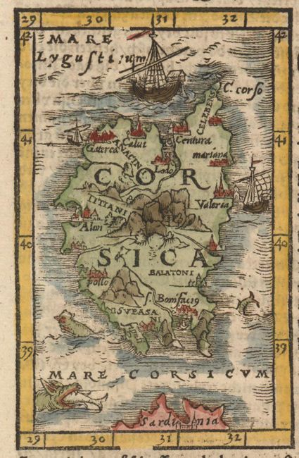
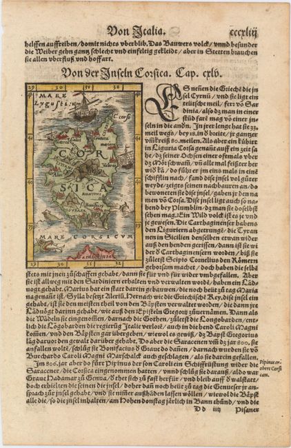
"Corsica", Munster, Sebastian
1 of 2
Subject: Corsica
Period: 1572 (circa)
Publication: Cosmographey oder Beschreibung Aller Lander…
Color: Hand Color
Size:
3.1 x 4.9 inches
7.9 x 12.4 cm
Download High Resolution Image
(or just click on image to launch the Zoom viewer)
(or just click on image to launch the Zoom viewer)