Catalog Archive
Auction 152, Lot 501
"Lithuania", Mercator/Hondius
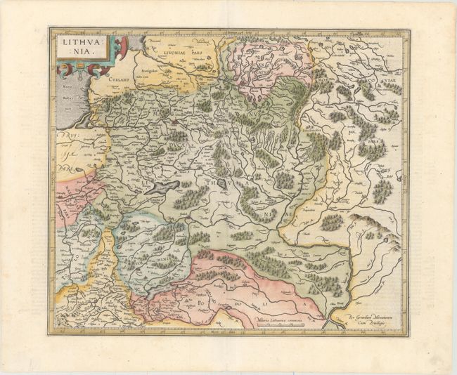
Subject: Eastern Europe
Period: 1623 (published)
Publication: Gerardi Mercatoris Atlas sive Cosmographicae…
Color: Hand Color
Size:
17.4 x 14.8 inches
44.2 x 37.6 cm
Download High Resolution Image
(or just click on image to launch the Zoom viewer)
(or just click on image to launch the Zoom viewer)