Catalog Archive
Auction 152, Lot 452

"Limaniae Topographia [on sheet with] Boloniensium Ditionis et Caletensium Exacta Descript", Jode, Gerard de

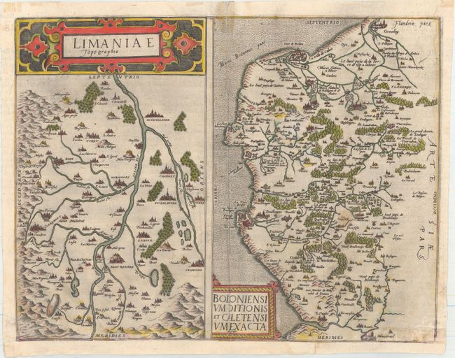
Subject: Northern & Central France

Period: 1578 (circa)

Publication: Speculum Orbis Terarrum

Color: Hand Color

Size:
17.4 x 13.6 inches
44.2 x 34.5 cm
Download High Resolution Image
(or just click on image to launch the Zoom viewer)

A rare copper engraving with two maps on one sheet. At left is a map of Limagne (in Auvergne) with the Allier River running down the center and Clermond-Ferrand at left. At right is a map of the historic region of Boulogne and Calais (in Nord-Pas-de-Calais), extending north to Gravelines and as far south as Montreuil. Each map is embellished with a decorative strapwork cartouche. Latin text on verso.

Cornelis de Jode (1568-1600) was the son of the mapmaker and publisher Gerard de Jode. The elder published several important maps including Ortelius' famous 8-sheet map of the world in 1564. His major atlas, Speculum Orbis Terrarum was a commercial failure because his rival, Abraham Ortelius, was able to obtain a monopoly for eight years at the same time De Jode was preparing the publication. After Gerard's death, his widow and son enlarged the atlas and re-issue it in 1593. On the death of Cornelis, the copper plates were sold to J. B. Vrients, who acquired them merely to stop their re-issue, as he had also acquired the Ortelius plates. De Jode maps are rarely offered on the market.

References: Shirley (BL Atlases) T.JOD-1c; Van der Krogt (Vol. III) #4857+4130:32.

Condition: B

A strong impression on watermarked paper with several light stains, an extraneous crease adjacent to centerfold, and some cockling along the bottom of map. There are some small tears and chips at bottom of map that have been repaired, with a minor amount of image replaced in facsimile. Remargined at bottom.

Estimate: $220 - $250

Sold for: $160

Closed on 2/18/2015

Archived