Catalog Archive
Auction 152, Lot 300
"De Land-Togt door Ferdinand Cortes Gedaan uyt Mexico, na las Ybueras", Aa, Pieter van der
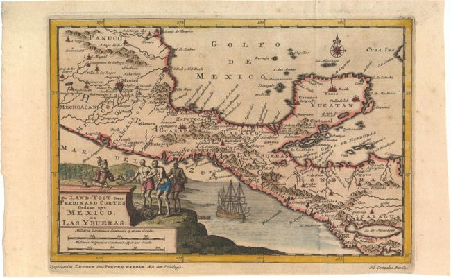
Subject: Mexico & Central America
Period: 1710 (circa)
Publication: Naauwkeurige Versameling der Gedenk-Waardigste Zee en Landreysen…
Color: Hand Color
Size:
8.9 x 6 inches
22.6 x 15.2 cm
Download High Resolution Image
(or just click on image to launch the Zoom viewer)
(or just click on image to launch the Zoom viewer)