Catalog Archive
Auction 152, Lot 269
"California, Mexico, Guatimala &c.", Dower, John
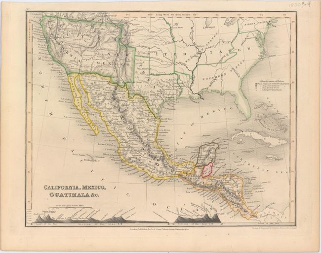
Subject: United States & Mexico
Period: 1850 (circa)
Publication:
Color: Hand Color
Size:
10.3 x 8.2 inches
26.2 x 20.8 cm
Download High Resolution Image
(or just click on image to launch the Zoom viewer)
(or just click on image to launch the Zoom viewer)