Catalog Archive
Auction 151, Lot 89

"Amerique du Nord", Andriveau-Goujon, E.

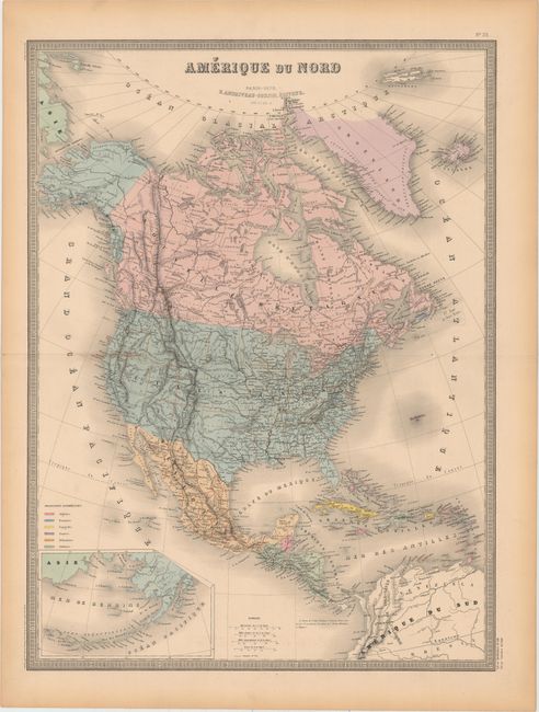
Subject: North America

Period: 1876 (dated)

Publication: Atlas Universel

Color: Hand Color

Size:
18.3 x 24.6 inches
46.5 x 62.5 cm
Download High Resolution Image
(or just click on image to launch the Zoom viewer)

This finely engraved map of the continent features excellent detail. Within the United States, states are delineated, Oklahoma is Territoire Indien, and the territory Dacotah seems to be an extension of the state of Nebraska. No boundary line is indicated between California and Arizona. There is an inset of Alaska Peninsula at bottom left. Above the inset is a key that explains the color-coding system that identifies various colonial possessions to be found in the Caribbean. A note in French text near Panama explains that the level of the Pacific Ocean in Panama at low tide is two meters below the level of the Atlantic Ocean at Chagres. Printed by Louis Antoine and engraved by Smith, Gerin, Rousset, and Fontaine.

References:

Condition: A

Original color with a touch of offsetting and four tiny worm holes that are only visible when held up to light. There is toning along the sheet's edges.

Estimate: $140 - $170

Unsold

Closed on 11/19/2014

Archived