Catalog Archive
Auction 151, Lot 486

"A Correct Chart of the Baltic Sea, Engraved for Malham's Naval Gazetteer", Malham, John (Rev.)
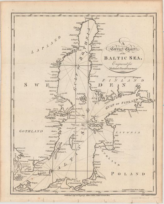
Subject: Baltic

Period: 1795 (dated)

Publication: Malham's Naval Gazetteer

Color: Black & White

Size:
7.5 x 9.3 inches
19.1 x 23.6 cm
Download High Resolution Image
(or just click on image to launch the Zoom viewer)

This small chart shows the Baltic Sea and its surroundings. The gulfs of Bothnia, Finland, and Riga (or Livonia) are located, as are several small islands and the Gulf of Dantzick (Gdansk Bay). Towns and cities are identified, among them St. Petersburg, Stockholm, and Copenhagen. The chart was engraved by Neele for Rev. John Malham (1747-1821), a writer and teacher of navigation, for Malham's The Naval Gazetteer; or, Seaman's Complete Guide.

References: McCorkle (18th C. Geography Books) #251, Vol. I-7.

Condition: A

Issued folding with faint offsetting, a small spot at bottom left, and minor toning along the sheet's edges.

Estimate: $100 - $130

Sold for: $75

Closed on 11/19/2014

Archived