Catalog Archive
Auction 151, Lot 430

"Chart of the Ethiopic or South Atlantic Ocean", Laurie, Richard Holmes

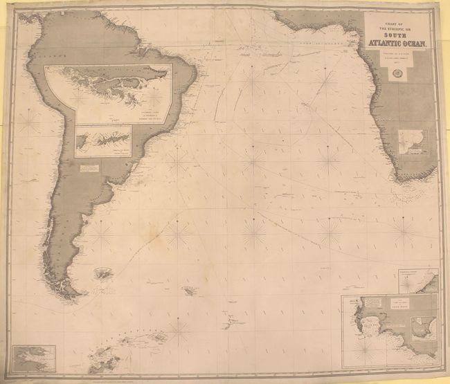
Subject: South Atlantic

Period: 1877 (dated)

Publication:

Color: Black & White

Size:
48.8 x 41.8 inches
124 x 106.2 cm
Download High Resolution Image
(or just click on image to launch the Zoom viewer)

This handsome blue-backed chart of the South Atlantic is on two joined sheets. South America is shown nearly in its entirety, and Africa's coast is traced from Sierra Leone down to its southern tip. Several islands are located, including the Falkland, South Shetland, and South Sandwich islands. There is plenty of hydrographical information, with routes, soundings, currents, compasses, rocks, and more shown. Notes throughout refer to underwater volcanoes, icebergs, and various discoveries made by explorers (with dates included). There is no inland detail on the continents shown, but places are named along the coastlines. Six insets provide more detailed views of various locales: The Southern Coast and Islands of Tierra del Fuego, Strait of Le Maire and Staten Island, Berkely Sound, Anchorage Off the N.W. Side of the Island of Ascension, Roadstead of St. Helena, and The Cape and Bays of Good Hope.

References:

Condition: B

A dark impression with light soiling and a number of tears along the top edge, most of which have been closed with archival materials. The top left corner has been separated and reattached with cello tape.

Estimate: $240 - $300

Sold for: $75

Closed on 11/19/2014

Archived