Catalog Archive
Auction 151, Lot 377

"Carta de la Isla de San Christoval...", Lopez, Juan (don)
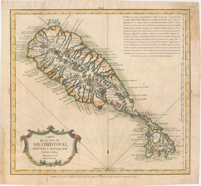
Subject: St. Kitts

Period: 1780 (dated)

Publication:

Color: Hand Color

Size:
15.6 x 14.3 inches
39.6 x 36.3 cm
Download High Resolution Image
(or just click on image to launch the Zoom viewer)

Uncommon Spanish map of this Leeward island with detail of cities, towns, roads, forts, plantations, anchorages and shoals. The mountains, rivers and forested areas are depicted with a lovely two-dimensional quality. The island is divided into seven Parroquias (Parishes) and nine Quarteles (Quarters). A paragraph in the upper right corner credits Emanuel Bowen and Bellin as the cartographical sources for the map.

References: Tooley (MCC-81) St. Kitts #48; Shirley (BL Atlases) T.LOP-3a #27.

Condition: B+

A nice impression on watermarked paper with attractive color, light scattered foxing, and a few minor extraneous creases. There are some archival paper repairs confined to the blank margins.

Estimate: $400 - $500

Sold for: $425

Closed on 11/19/2014

Archived