Catalog Archive
Auction 151, Lot 373

"Plan de la Baye et Rade du Cap Francais...", Le Rouge, George Louis

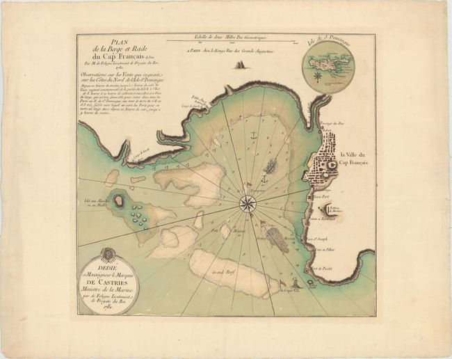
Subject: Cap Haitien, Haiti

Period: 1781 (dated)

Publication:

Color: Hand Color

Size:
16 x 15.2 inches
40.6 x 38.6 cm
Download High Resolution Image
(or just click on image to launch the Zoom viewer)

This rare chart gives detailed navigational information of the waters surrounding Cap Haitien, on the northern coast of Haiti. The town was an important city during the colonial period, serving as the capital of the French Colony of Saint-Domingue until the capital was moved to Port-au-Prince in 1770. The chart shows soundings, anchorages, reefs, rocks, and shoals. A bird's-eye plan of Cap Haitien is depicted, with two churches marked. The chart is adorned with two sailing ships and a large compass rose, orienting north to the bottom right. A small round inset map at top shows the island of Hispaniola with north oriented to the bottom. A note below the title gives observations on the prevailing winds on the northern side of the island. The map is dedicated to the Marquis de Castries.

References:

Condition: A

A fine impression with superb original color on watermarked paper with wide margins.

Estimate: $350 - $425

Unsold

Closed on 11/19/2014

Archived