Catalog Archive
Auction 151, Lot 343

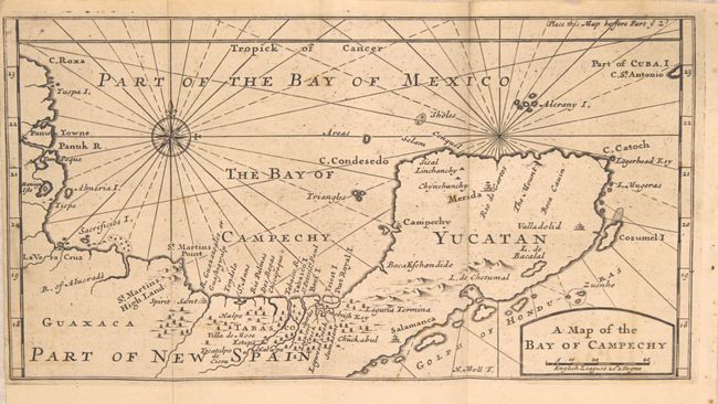
"A Map of the Bay of Campechy [with related text]", Moll, Herman

Subject: Mexico

Period: 1705 (published)

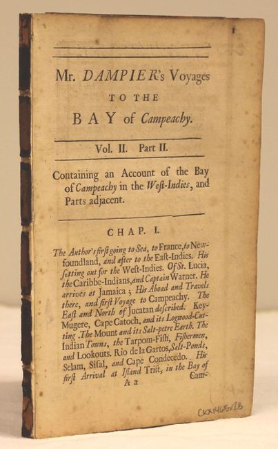
Publication: Dampier's Voyages and Descriptions

Color: Black & White

Size:
11 x 5.8 inches
27.9 x 14.7 cm
Download High Resolution Image
(or just click on image to launch the Zoom viewer)

This is a scarce map of the Bay of Campeche and the Yucatan Peninsula. It covers the region first explored in 1517 by Fernando de Cordoba and Antonio de Alaminos and visited by Dampier twice prior to his circumnavigations. The city of Campeche, on the west coast of the Yucatan Peninsula, derives its name from the Mayan city of Kan pech. The Sacrificious I. (Island of Sacrifices), located just offshore from Veracruz, notes the location of a prominent Aztec temple discovered by the Spanish in 1518. There are no place names along the coastline now known as Riviera Maya, but Cozumel Island is named and the city of Valladolid is located. Included is 132 pp. of related text (4.8 x 7.5").

William Dampier (1652-1715) was a soldier, buccaneer, pirate, British navy captain and hydrographer. He was also among the most influential of travel writers. Dampier completed his first circumnavigation between 1679 and 1691, during which he was among the first group of Englishmen to land in New Holland (Australia).

References:

Condition: B+

A strong impression with a few faint spots in the image and a narrow left side margin as issued. Disbound text is lightly toned with scattered foxing mostly in the blank margins.

Estimate: $250 - $325

Sold for: $130

Closed on 11/19/2014

Archived