Catalog Archive
Auction 151, Lot 282

"Clason's Guide Map of Oklahoma", Clason Map Company
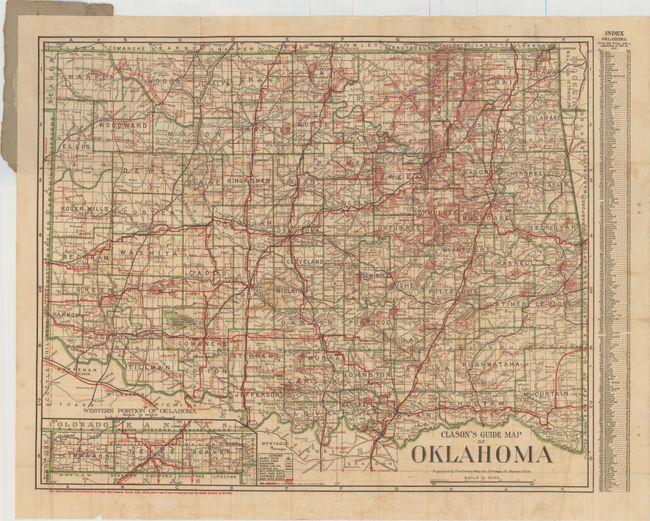
Subject: Oklahoma

Period: 1910 (circa)

Publication:

Color: Printed Color

Size:
20.3 x 16.5 inches
51.6 x 41.9 cm
Download High Resolution Image
(or just click on image to launch the Zoom viewer)

Detailed map of the new state of Oklahoma shows counties, county seats, roads, railroads and national forests. Numerous oil fields are prominently depicted in red shading. The panhandle is shown in an inset at bottom left with a county index along the right border. A note in the lower blank margin states "The Road Information Department of the Clason Map Company, Denver, Colo., will be glad to hear of new or improved roads that should be shown on this map."

References:

Condition: B

Issued folding with light toning and offsetting, some soiling, and a few small splits at fold intersections and along the folds in the bottom blank margin. A tear that extends 4" into map at top has been closed on verso with archival tape. Front paper wrapper is missing.

Estimate: $100 - $130

Sold for: $75

Closed on 11/19/2014

Archived