Catalog Archive
Auction 151, Lot 257

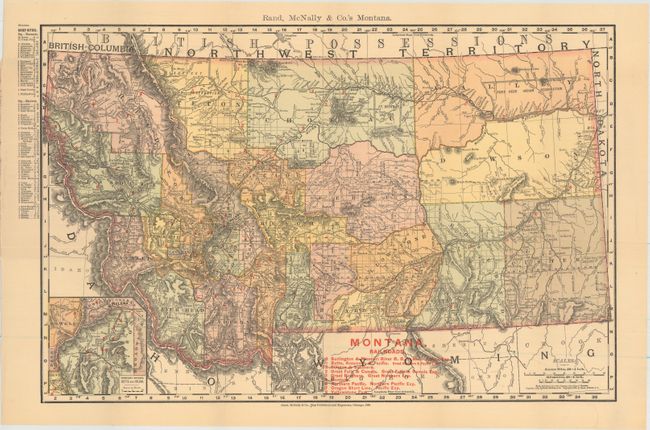
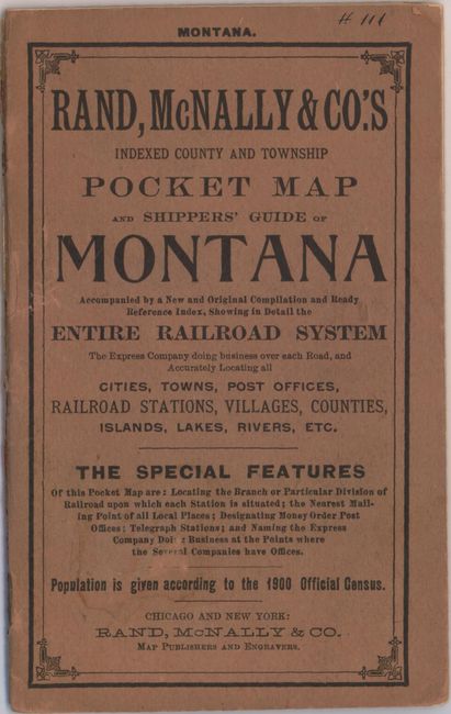
"Rand, McNally & Co.'s Montana", Rand McNally & Co.

Subject: Montana

Period: 1902 (dated)

Publication:

Color: Printed Color

Size:
19 x 12.6 inches
48.3 x 32 cm
Download High Resolution Image
(or just click on image to launch the Zoom viewer)

This attractive folding map of Montana was issued 13 years after statehood. Through the use of red overprinting, the map depicts the numerous railroad lines operating throughout the state including the Burlington & Missouri River Railroad, Great Falls & Canada, Northern Pacific, and Oregon Short Line to name a few. Topography is well developed and numerous Indian Reservations are named. Drawn on a scale of 30 miles per inch and includes a 24-page index of place names. Folds into brown paper wrappers entitled "Rand, McNally & Co.'s Indexed County and Township Pocket Map and Shippers' Guide of Montana."

References:

Condition: A

The map, issued folding, is near mint and still attached to the back paper wrapper. Front wrapper and index are separated.

Estimate: $100 - $130

Sold for: $70

Closed on 11/19/2014

Archived