Catalog Archive
Auction 150, Lot 643

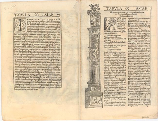
"[Title on Verso] Tabula X Asiae", Waldseemuller/Fries
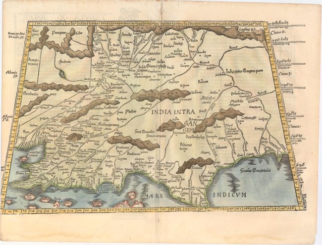
Subject: India

Period: 1525 (published)

Publication: Claudii Ptolemaei Alexandrini Geographicae…

Color: Hand Color

Size:
18.9 x 11.8 inches
48 x 30 cm
Download High Resolution Image
(or just click on image to launch the Zoom viewer)

A nice example of this early and desirable Ptolemaic map of India, which is depicted in a distorted form with a severely truncated peninsula. The map presents the mountains, rivers and places compiled by the Alexandrian geographer, which though crude and confusing, is a remarkable view of the region between the deltas of the Indus and Ganges Rivers, both of which are shown. The map is reduced from Martin Waldseemuller's map, and incorrectly shows the northern tip of Taprobana to the west of the subcontinent. The title is on the verso along with Latin text and an architectural woodcut illustration.

References: Mickwitz & Miekkavaara #208-24.

Condition: B+

A nice impression on watermarked paper with several minor creases, a 2" tear along the Ganges River that has been professionally repaired, and a worm hole along the centerfold in the top blank margin that has been professionally infilled. A tiny portion of the image has been trimmed at left by the bookbinder, as issued.

Estimate: $600 - $750

Sold for: $650

Closed on 9/17/2014

Archived