Catalog Archive
Auction 150, Lot 555

"Geographische Beschryvinge, van de Wandeling der Apostelen ende Pauli...", Visscher, Claes Janszoon

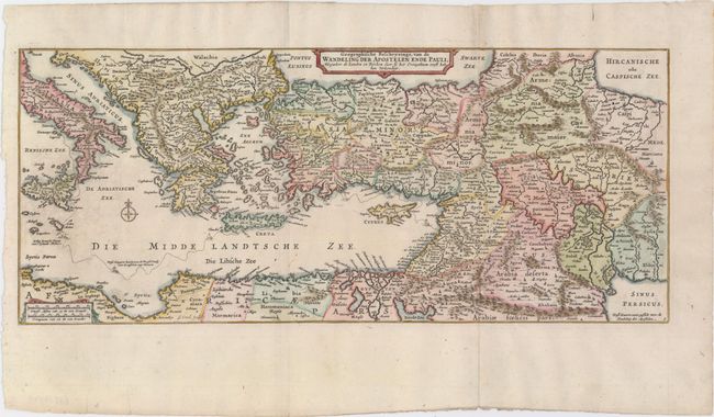
Subject: Eastern Mediterranean & Middle East

Period: 1748 (circa)

Publication:

Color: Hand Color

Size:
15.7 x 6.6 inches
39.9 x 16.8 cm
Download High Resolution Image
(or just click on image to launch the Zoom viewer)

This uncommon map of the eastern Mediterranean covers the region from Rome through Asia Minor and the Holy Land and depicts the track the ship of the Apostle Paul on his route from Jerusalem to Rome. The map is a smaller version of Claes Janszoon Visscher's map of the region. This is the third state with Visscher's name removed from the cartouche. The engraver's imprint (G. Coeck) is at bottom.

References: Poortman & Augusteijn #96.

Condition: A

A nice impression with marginal soiling.

Estimate: $120 - $150

Sold for: $65

Closed on 9/17/2014

Archived