Catalog Archive
Auction 150, Lot 534

"Stato di Ragusi. Bocca del Fiume Narenta, Isole di Lesina e Curzola nella Dalmatia...", Coronelli, Vincenzo Maria

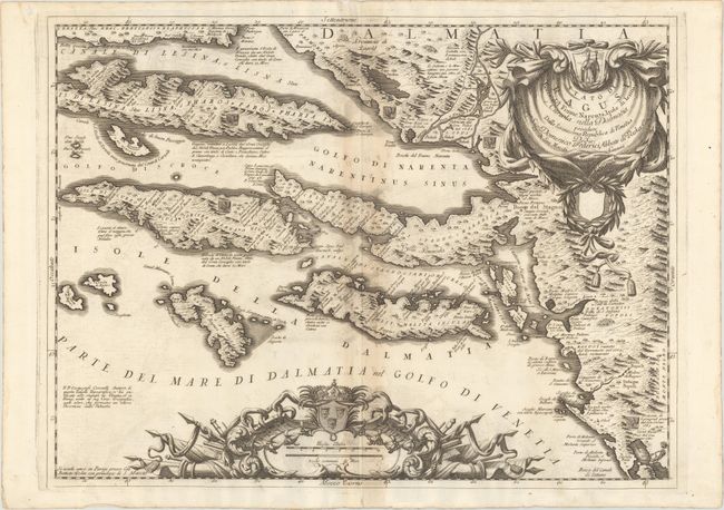
Subject: Dalmatian Islands, Croatia

Period: 1706 (published)

Publication: Mari, Golfi, Isole...

Color: Black & White

Size:
23.9 x 17.9 inches
60.7 x 45.5 cm
Download High Resolution Image
(or just click on image to launch the Zoom viewer)

This beautifully engraved map depicts the islands off the coast of the Dalmatia region in Croatia. It centers on the Peljesac peninsula and extends to include Hvar (the longest island in the Adriatic), Korcula, Mljet, and numerous smaller islands. There is excellent topographical detail throughout that emphasizes the mountainous terrain of the region. Notes in Italian text mark Venetian victories in the Great Turkish War and the destruction of Dubrovnik (Ragusi) in the earthquake of 1667, and Venetian coats of arms are sprinkled throughout the landscape. The decorative title cartouche at top right features the pope, and another cartouche at bottom for the distance scales includes the Dalmatian coats of arms with three crowned lions. Coronelli established the society of geographers "Accademia degli Argonauta", one of the oldest in the world, and became the official geographer of the Venetian Republic. His maps of the Adriatic Sea were of particular strategic and economic importance and were also often used to glorify Venice and its victories over the Turks.

References: Shirley (BL Atlases) T.CORO-17a #87.

Condition: B+

A fine impression on watermarked paper with light toning along the centerfold, minor offsetting, and a centerfold separation in the bottom blank margin. There is a small hole in the top left blank margin away from the map image.

Estimate: $600 - $750

Sold for: $450

Closed on 9/17/2014

Archived