Catalog Archive
Auction 150, Lot 356

"South America Agreeable to the Most Approved Maps and Charts", Kitchin, Thomas

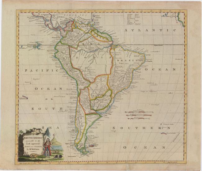
Subject: South America

Period: 1778 (circa)

Publication:

Color: Hand Color

Size:
14.8 x 13.3 inches
37.6 x 33.8 cm
Download High Resolution Image
(or just click on image to launch the Zoom viewer)

Attractive small map of the continent with good detail of rivers and mountains. Much of the Amazonia region and interior of Brazil is mostly blank. The map extends to part of Central America and the African coastline with Cape Verde Islands. In the South Atlantic, a tiny coastline labeled Terra Australis is shown. In the Pacific, the Galapagos Islands are well depicted and to the south there is a small coastline of Easter Island labeled Land seen by Capt. Davis in 1686. Title cartouche is decorated with a native, wildlife and an erupting volcano.

References:

Condition: B+

Issued folding with a slightly uneven impression in the title cartouche, minor soiling and two tiny holes along the Tropic of Capricorn. There are a couple extraneous creases running vertically through the map, archivally reinforced on verso.

Estimate: $140 - $180

Sold for: $100

Closed on 9/17/2014

Archived