Catalog Archive
Auction 150, Lot 33

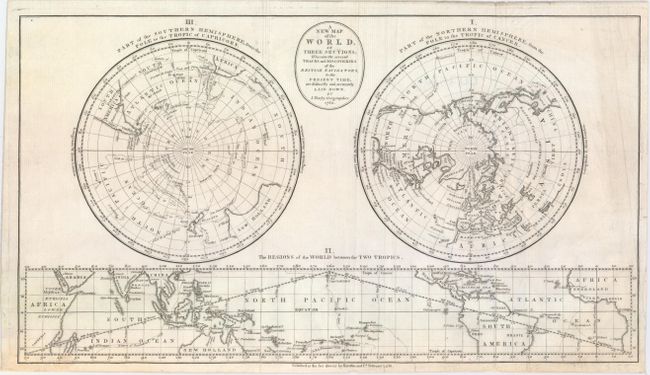
"A New Map of the World, in Three Sections; Wherein the Several Tracks and Discoveries of the British Navigators, to the Present Time, Are Distinctly and Accurately Laid Down", Bayly, John

Subject: World

Period: 1782 (dated)

Publication: The Geographical Magazine...

Color: Black & White

Size:
16.8 x 9.4 inches
42.7 x 23.9 cm
Download High Resolution Image
(or just click on image to launch the Zoom viewer)

This fascinating sheet shows the world in three sections: at top in a double polar projection and below in a rectangular map of the tropical regions centered on the equator. The southern hemisphere traces the routes traveled by Captains Cook and Furneaux during their expeditions of the 1770s. Van Diemen's Land is attached to Australia, and the area where Antarctica should be is filled with notes referring to islands of ice and Firm fields & vast mountains of ice. The map of the northern hemisphere also references Cook's expeditions in addition to Lord Mulgrave's voyage to the North Pole in 1773. The map running along the bottom locates the site of Cook's death and features the signs of the zodiac. Published by Harrison and Co. on February 1, 1782, for William Fordyce Mavor's The Geographical Magazine; or, a New, Copious, Compleat and Universal System of Geography....

References: McCorkle (18th C. Geography Books) #268-5.

Condition: B+

A nice impression on watermarked paper. Issued folding and now flattened and backed in tissue to repair some small worm tracks at bottom, a short fold separation, and two small chips with a minor amount of image replaced in facsimile.

Estimate: $275 - $375

Sold for: $275

Closed on 9/17/2014

Archived