Catalog Archive
Auction 150, Lot 324

"Kaart van de Landengte van Panama, Volgens de Spaansche Aftekeninge Opgemaakt", Tirion, Isaac

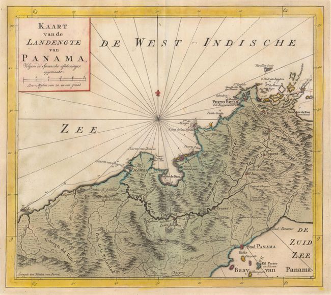
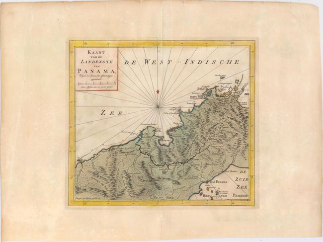
Subject: Central Panama

Period: 1766 (circa)

Publication: Hedendaagsch Historie of Tegenwordige Staat van Amerika

Color: Hand Color

Size:
12 x 10.6 inches
30.5 x 26.9 cm
Download High Resolution Image
(or just click on image to launch the Zoom viewer)

Great map of central Panama showing Panama City in the southeast, Chagres in the northwest, and Portobelo in the northeast. Roads and the Chagres River connect them all. The road between Panama City and Portobelo passes though el Bujie, Boqueron, Pequeni, Sa. Juan, and Maria Enrique. Finely engraved with rhumb lines and a fleur-de-lis. Very detailed and fully engraved to show topographical information.

References: Shirley (BL Atlases) G.TIR-1a #8.

Condition: A

On watermarked paper with wide margins and some minor color offsetting. There is a centerfold separation in the bottom blank margin that has been closed on verso with archival tape.

Estimate: $180 - $220

Sold for: $130

Closed on 9/17/2014

Archived