Catalog Archive
Auction 150, Lot 242

"The State of Massachusetts", Carey, Mathew

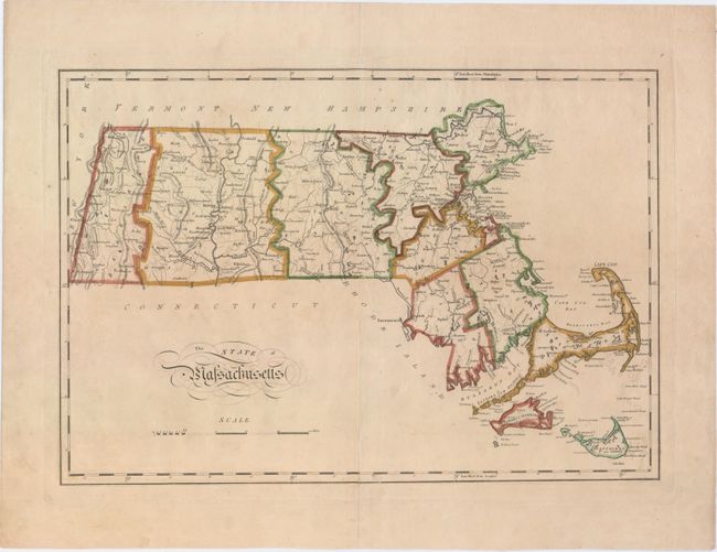
Subject: Massachusetts

Period: 1814 (circa)

Publication: Carey's General Atlas...

Color: Hand Color

Size:
17.9 x 12.3 inches
45.5 x 31.2 cm
Download High Resolution Image
(or just click on image to launch the Zoom viewer)

Mathew Carey was a seminal figure in early American publishing; establishing the first publishing firm to specialize in cartography and issuing the first atlas devoted exclusively to American maps. He set up an elaborate cottage system of craftsmen for compiling, engraving, printing, and coloring maps. This practice was emulated by later American cartographic publishers such as John Melish and Henry S. Tanner. The American Atlas concept was also adopted by other publishers in both the United States and Europe.

This early map of Massachusetts illustrates the hills, streams, ponds and lakes, county boundaries, main roads, and towns. It extends to include Martha's Vineyard and Nantucket. County configuration is circa 1814, with the newly organized Hampden County.

References:

Condition: B

Light soiling with a long centerfold separation and a 3" tear near the center of the image that have been archivally repaired.

Estimate: $240 - $300

Sold for: $120

Closed on 9/17/2014

Archived