Catalog Archive
Auction 150, Lot 225

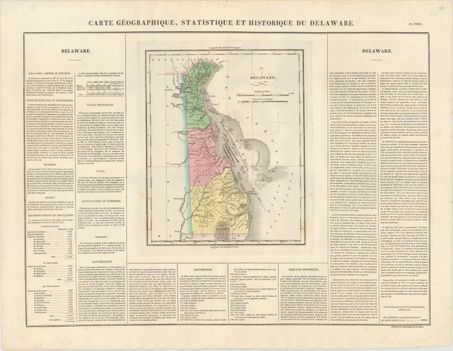
"Carte Geographique, Statistique et Historique du Delaware", Buchon, Jean Alexandre

Subject: Delaware

Period: 1825 (circa)

Publication: Atlas Geographique, Statistique, Historique...des Deux Ameriques

Color: Hand Color

Size:
9.5 x 11.6 inches
24.1 x 29.5 cm
Download High Resolution Image
(or just click on image to launch the Zoom viewer)
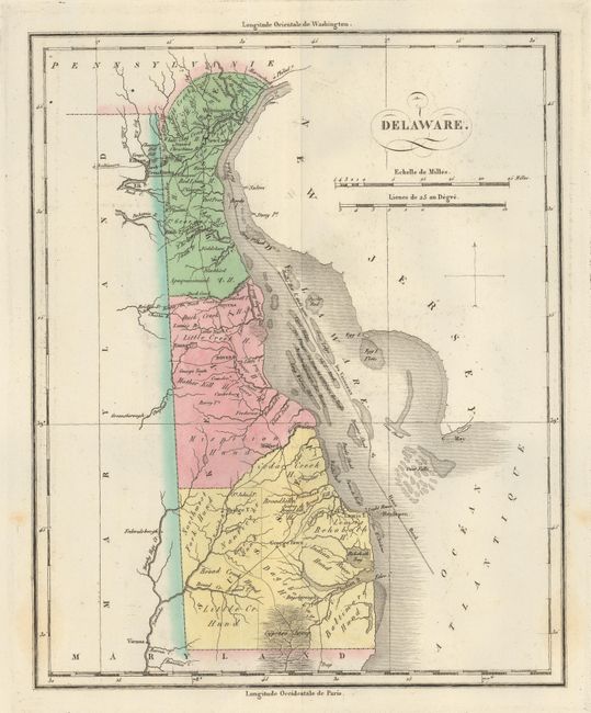
This attractive copper engraved map is the French edition of Carey & Lea's map of Delaware. It details the state's three counties (New Castle, Kent, and Sussex), wagon roads, and towns. Cypress Swamp and good detail of the watershed are also shown. In Delaware Bay there are numerous shoals with the Canal pour les Vaisseaux de Haut Bord winding its way though the hazards. The map is surrounded by French text on a full folio sheet, describing the state's climate, commerce, history, government, history, etc. A table puts the state's population at less than 73,000 and lists the number of slaves (4,500) and free blacks (13,000). Sheet with text measures 24.0 x 18.1".

References:

Condition: A

Original color with minor offsetting and some faint spots, most of which lie outside the image.

Estimate: $120 - $150

Sold for: $120

Closed on 9/17/2014

Archived