Catalog Archive
Auction 149, Lot 737

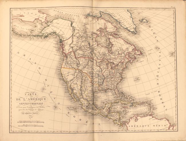
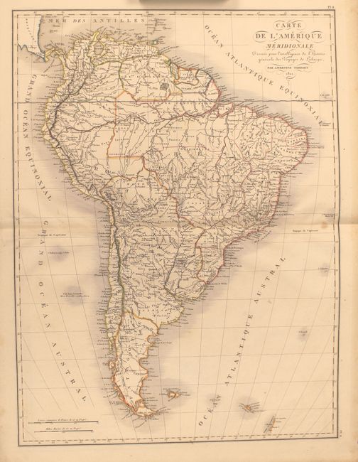
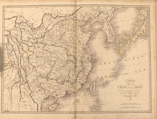
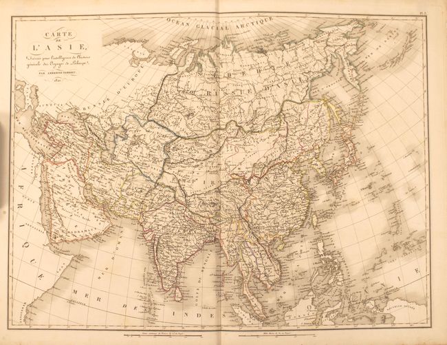
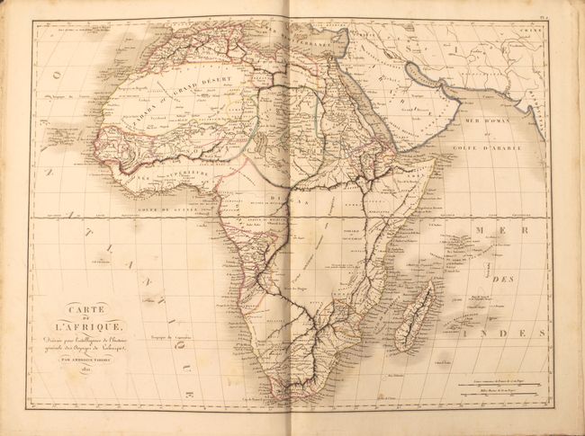
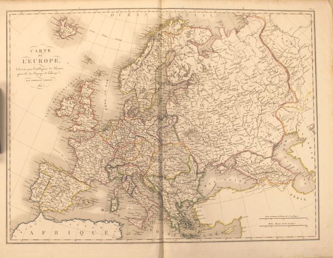
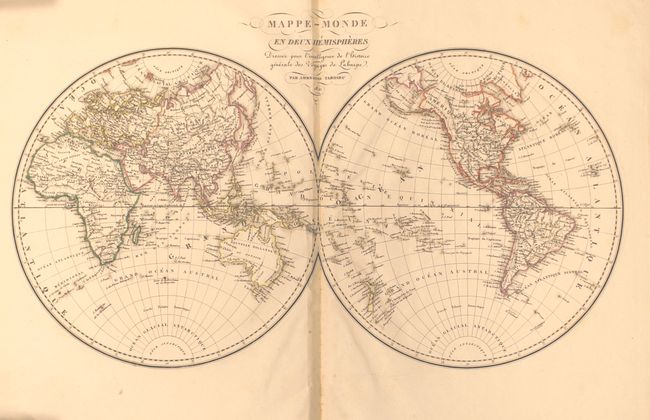
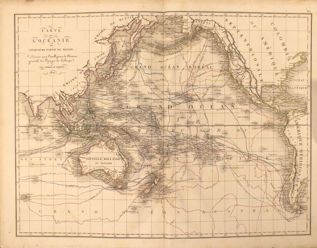
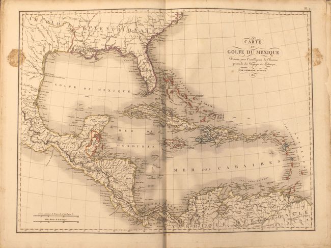
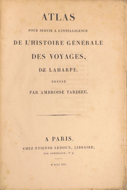
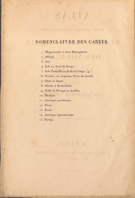
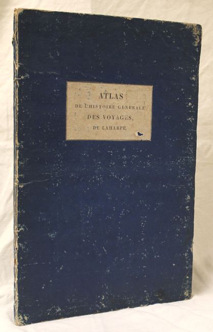
"Atlas pour Servir a l'Intelligence de l'Histoire Generale des Voyages, de Laharpe", Tardieu, Ambroise

Subject: Atlases

Period: 1821 (published)

Publication:

Color: Hand Color

Size:
12.3 x 18.4 inches
31.2 x 46.7 cm
Download High Resolution Image
(or just click on image to launch the Zoom viewer)

This early 19th century French atlas contains 11 double-page and 4 single-page maps of the world, the Americas, Africa, Asia, Australia and Europe including several other regional views of Mexico, the Gulf of Mexico and Asia. The map of North America, Carte de l'Amerique Septentrionale, shows good detail throughout and early territorial configurations. Just west of the Mississippi River are the districts of Howard, Girardeau, Lawrence, and Arkansas. These are remnants of French and Spanish divisions in what is present-day Missouri and Arkansas. The United States and Canadian boundary follows the U.S. claims into present-day British Columbia and Mexico controls all of California and the Southwest. The map is filled with place names, Indian tribes and much else of interest. The map of Oceania is incredibly detailed and absolutely packed with the tracks of explorers including Cook, Vancouver, La Perouse and Marchand. Folio, hardbound with original blue boards.

References:

Condition: B+

The maps are mostly clean and bright with some occasional small light spots and stains. There is a bit of foxing along the left and right neatlines of the Gulf of Mexico map. Covers are bumped and heavily worn and the spine is somewhat chipped.

Estimate: $750 - $900

Unsold

Closed on 5/21/2014

Archived