Catalog Archive
Auction 149, Lot 522
"Haute, ou Petite Pologne: ou sont les Palatinats de Cracow, Sandomirie, et Lublin", Sanson/Mariette
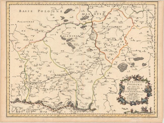
Subject: Southern Poland
Period: 1666 (dated)
Publication: Cartes Generales de Toutes les Parties du Monde…
Color: Hand Color
Size:
21.7 x 16.7 inches
55.1 x 42.4 cm
Download High Resolution Image
(or just click on image to launch the Zoom viewer)
(or just click on image to launch the Zoom viewer)