Catalog Archive
Auction 149, Lot 478
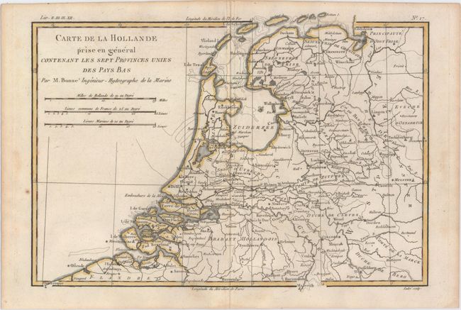
"Carte de la Hollande Prise en General Contenant les Sept Provinces Unies des Pays Bas", Bonne/Raynal
Subject: Netherlands
Period: 1780 (circa)
Publication: Atlas de Toutes les Parties Connues du Globe Terrestre
Color: Hand Color
Size:
12.8 x 9 inches
32.5 x 22.9 cm
Download High Resolution Image
(or just click on image to launch the Zoom viewer)
(or just click on image to launch the Zoom viewer)