Catalog Archive
Auction 149, Lot 138
"United States", Findlay, Alexander
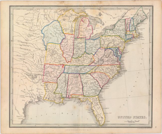
Subject: Eastern United States
Period: 1843 (circa)
Publication: A Modern Atlas; Forming a Complete Compendium of Geography...
Color: Hand Color
Size:
10.4 x 8.9 inches
26.4 x 22.6 cm
Download High Resolution Image
(or just click on image to launch the Zoom viewer)
(or just click on image to launch the Zoom viewer)