Catalog Archive
Auction 148, Lot 747

"Das Land der Hottentoten an dem Vorgebirge der Guten Hoffnung", Bellin, Jacques Nicolas

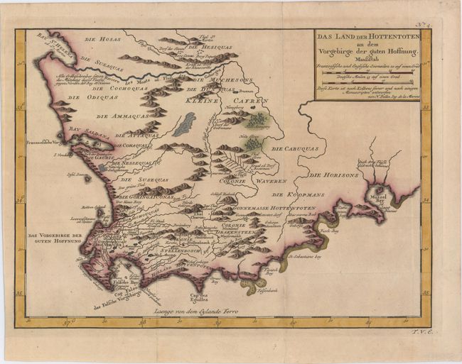
Subject: Southern Africa

Period: 1754 (circa)

Publication: Allgemeine Historie der Reisen

Color: Hand Color

Size:
13.4 x 9.6 inches
34 x 24.4 cm
Download High Resolution Image
(or just click on image to launch the Zoom viewer)

A beautifully engraved copper-plate map of the Cape of Good Hope from Saint Helena Bay to Mossel Bay. Dutch settlements are mostly confined along the coast and southern regions. The inland regions are depicted as deserts, savannas, forests and mountain ranges with tribal names indicated and a few Boer colonies.

References:

Condition: A

A dark impression, issued folding, now pressed.

Estimate: $190 - $220

Sold for: $200

Closed on 2/19/2014

Archived