Catalog Archive
Auction 148, Lot 726

"North Africa [on sheet with] South Africa", Thomson, John

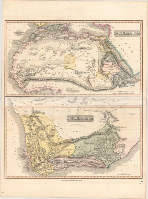
Subject: Northern & Southern Africa

Period: 1817 (circa)

Publication: New General Atlas

Color: Hand Color

Size:
20.2 x 23.1 inches
51.3 x 58.7 cm
Download High Resolution Image
(or just click on image to launch the Zoom viewer)

Two maps on one sheet detailing northern and southern Africa. The top map covers north Africa's Mediterranean coast and extends to include all of the Red Sea in the east and the Gulf of Guinea in the west. The map shows the areas of Morocco, Algeria, Libya, and Egypt, as well as the Sahara and Libyan deserts and the Mountains of the Moon. The bottom map depicts the southern tip of Africa divided into the districts of Stellenbosch, Zwellingdam, and Graaf Reynet. Both maps are filled with interesting details indicating the locations of caravan routes, cannibal tribes, cave paintings, "good water," and historical events.

References:

Condition: B+

Original color with some light offsetting, a tiny abrasion in the upper map, and two small edge tears that do not enter map image.

Estimate: $140 - $170

Sold for: $90

Closed on 2/19/2014

Archived