Catalog Archive
Auction 148, Lot 660

"Suchuen, Imperii Sinarum Provincia Sexta", Blaeu, Johannes

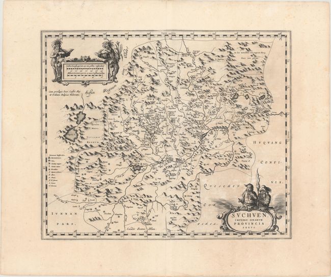
Subject: Central China

Period: 1655 (circa)

Publication: Novus Atlas Sinensis

Color: Black & White

Size:
19 x 15.7 inches
48.3 x 39.9 cm
Download High Resolution Image
(or just click on image to launch the Zoom viewer)

The second landmark in the European mapping of China was the appearance of the Novus Atlas Sinensis in 1655. It was compiled by Father Martino Martini, an Italian Jesuit and produced by the most prominent Dutch cartographer of the time, Johannes Blaeu. Father Martini compiled the work based on Chinese sources between 1643 and 1650, and it greatly advanced European knowledge of the region including the astronomical positions of many cities and topographical features. It remained the standard geographical work on that country until the publication in 1737 of D'Anville's Atlas de la Chine. This map of the Suchen province is decorated with two particularly graphic cartouches. The scales are flanked by mythical woodwose who represent the mighty Yangtze River, and a warlord and his guard stand behind the title cartouche.

References:

Condition: B+

Dark impression and wide margins with a few tiny centerfold separations and some light, uneven toning.

Estimate: $600 - $750

Sold for: $475

Closed on 2/19/2014

Archived