Catalog Archive
Auction 148, Lot 628
"Carte des Principales Ports de Mer Bancs de Sable &c.: Qui sont dans la Mer Rouge Levee par Ordre Expres des Roys de Portugal sous qui on en a Fait la Decouverte", Mortier, Pierre
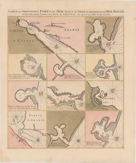
Subject: Red Sea
Period: 1720 (circa)
Publication: Neptune Francais
Color: Hand Color
Size:
16.8 x 19.9 inches
42.7 x 50.5 cm
Download High Resolution Image
(or just click on image to launch the Zoom viewer)
(or just click on image to launch the Zoom viewer)