Catalog Archive
Auction 148, Lot 615

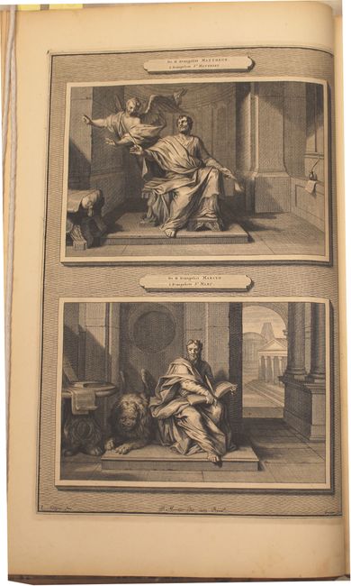
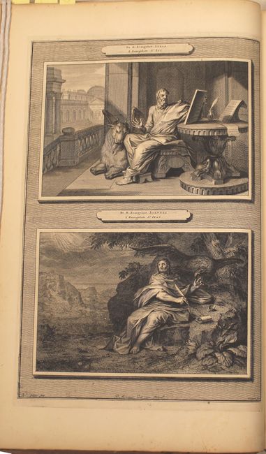
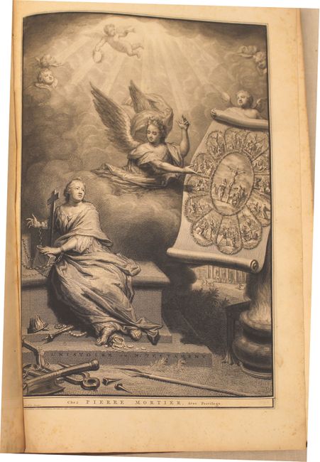
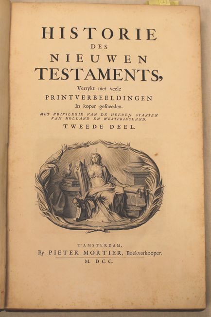
Mortier's Dutch History of the New Testament with Five Maps

"Historie des Nieuwen Testaments, Verrykt met veele Printverbeeldingen…", Mortier, Pierre
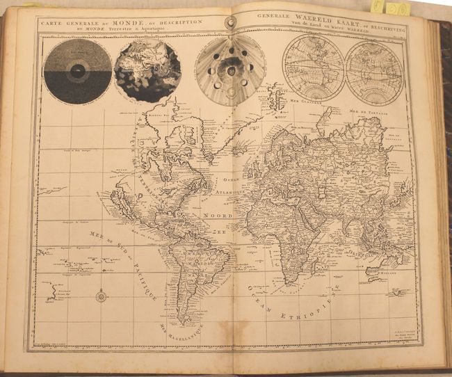
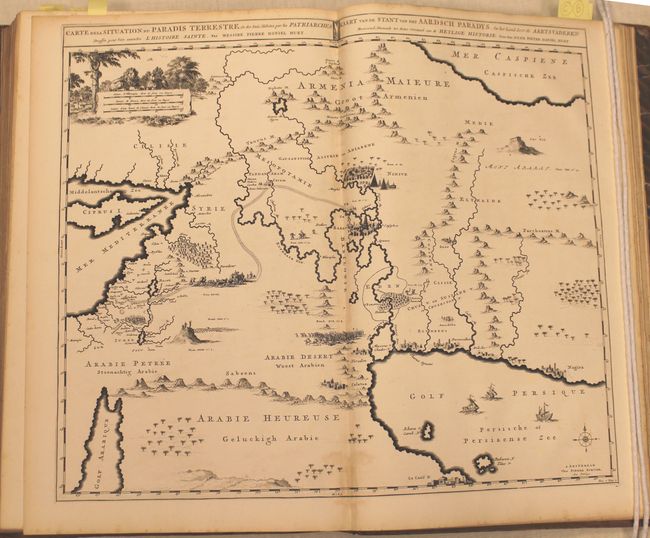
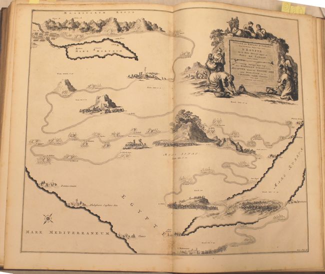
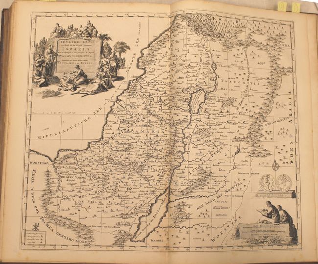
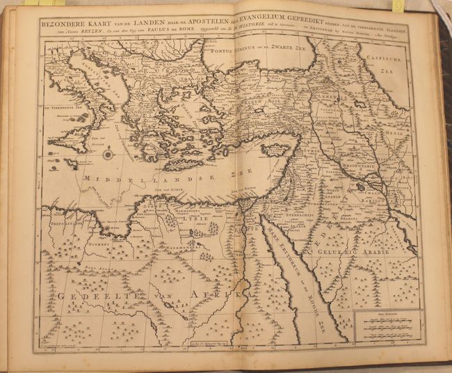
Subject: Holy Land

Period: 1700 (published)

Publication:

Color: Black & White

Size:
11.4 x 17.5 inches
29 x 44.5 cm
Download High Resolution Image
(or just click on image to launch the Zoom viewer)

This is volume two from a Dutch history of the Bible covering the New Testament, published by Pierre Mortier. There are numerous illustrations interspersed within the text including portraits of Matthew, Mark, Luke and John with engraved frames and an elaborate frontispiece. Accompanying the text are five maps depicting the regions described including:

Carte Generale du Monde, ou Description du Monde Terrestre & Aquatique. This unique world map drawn on Mercator's projection depicts California as an island and the Detroit d'Anian connected by dotted lines through the Northwest Passage to Button's Bay located to the west of Hudson Bay. There is an erroneous large lake shown as the source for the Rio Norte (Rio Grande River) located in the Southwest, as well as an early, open-ended version of the Great Lakes named Mer Douce. A small coastline of New Zealand appears in the Pacific. The northeast coast of Asia is severely truncated and shows Witsen's Cap de Glaces. Australia's northern coast is shown connected to New Guinea, and two disjointed coastlines appear to the south, including Van Diemen's Land. The most interesting features of the map are the five spheres presented along the top depicting day and night, the flood, the phases of the moon, and the Western and Eastern Hemispheres. The map was precisely engraved by Jan van Luchenburg (imprint at lower left).

Het Heylige Land Verdeeld in de Twaalf Stammen Israels. This decorative map of present-day Israel, Lebanon and Jordan is fully engraved with mountains, towns, forests and notations of important Biblical sites. It shows both the divisions in the Twelve Tribes of Israel and the regions in Christ's time. The pictorial title cartouche depicts Jesus healing the sick and a scale of miles cartouche portrays two scholars. Also included is a depiction of a Jerusalem Shekel from the First Jewish Revolt against Rome. Engraved by Jan van Luchetenburg.

Voyage des Enfans d'Israel dans le Desert Depuis leur Sortie d'Egypte par la Mer Rouge. This interesting pictorial map focuses on the Exodus of the Children of Israel from Egypt to the Promised Land and their wandering in the desert. Mount Sinai is prominent at the center of the map. At top left are the Jordan River and the Mare Mortuum (Dead Sea) and at bottom right is a graphic scene of the pursuing Egyptians being swallowed in the Red Sea following the successful escape of the Hebrews. Numerous place names and biblical references fill the map which is decorated with a large title cartouche depicting women gathering the Manna.

Carte de la Situation du Paradis Terrestre, Et des Pais Habitez par les Patriarches Dressee pour bien entendre l'Histoire Sainte, Par Messire Pierre Daniel Huet. This interesting map covers the region from the Mediterranean through the Persian Gulf. Detail is omitted in favor of Biblical depictions including the Sermon on the Mount, Babylon, the Garden of Eden, Noah's Ark, Abraham's journey from Ur, and others. Pictorial scale of miles with a lion, lamb, and a serpent in an apple tree. Three tiny ships sail in the Persian gulf with a compass rose. Title is in both French and Dutch in panel at top.

Byzondere Kaart van de Landen Daar de Apostelen Het Evangelium Gepredikt Hebben.... This expansive engraved map of the eastern Mediterranean and the Middle East features the tract of St. Paul from Jerusalem to Rome. The map is filled with mountains, forests, and oases, and is decorated with a compass rose.

163 pp. Hardbound in full calf with gilt titling on raised spine and marbled endpapers.

References: Shirley #622; Laor #507, #508 and cf. #224.

Condition: B+

The maps, plates and text are very good to fine with a light damp stain along the bottom centerfold of each map image. The front free-endpapers and frontispiece are partially detached. Covers are worn and bumped and the spine has minor chips at top and bottom.

Estimate: $1,800 - $2,200

Unsold

Closed on 2/19/2014

Archived