Catalog Archive
Auction 148, Lot 561

"Le Royaume de Hongrie Divise en Haute et Basse Hongrie Transilvanie Esclavonie et Croatie", Janvier/Lattre
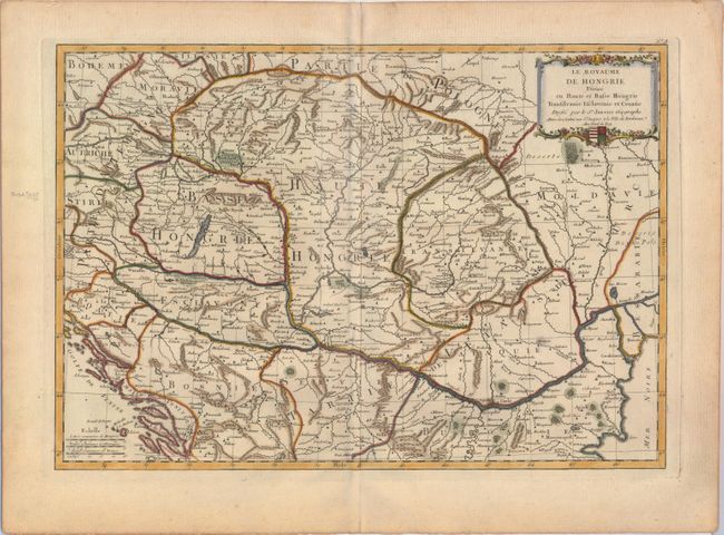
Subject: Southeastern Europe, Hungary

Period: 1771 (circa)

Publication: Atlas Moderne

Color: Hand Color

Size:
17.4 x 12.1 inches
44.2 x 30.7 cm
Download High Resolution Image
(or just click on image to launch the Zoom viewer)

This is a handsome and cleanly engraved map covering the region from Vienna through Moldavia and from the Dalmatian coast to the Bulgarian coast of the Black Sea. There is good detail particularly along the Danube River. The map is decorated with a garland draped cartouche that incorporates the Hungarian coat of arms.

References:

Condition: A

A fine impression on watermarked paper with a minor crease along centerfold and marginal soiling.

Estimate: $150 - $200

Sold for: $85

Closed on 2/19/2014

Archived