Catalog Archive
Auction 148, Lot 50

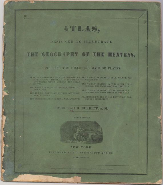
"Atlas, Designed to Illustrate the Geography of the Heavens, Comprising the Following Maps or Plates.", Burritt, Elijah H.
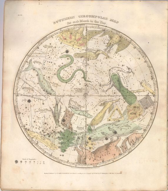
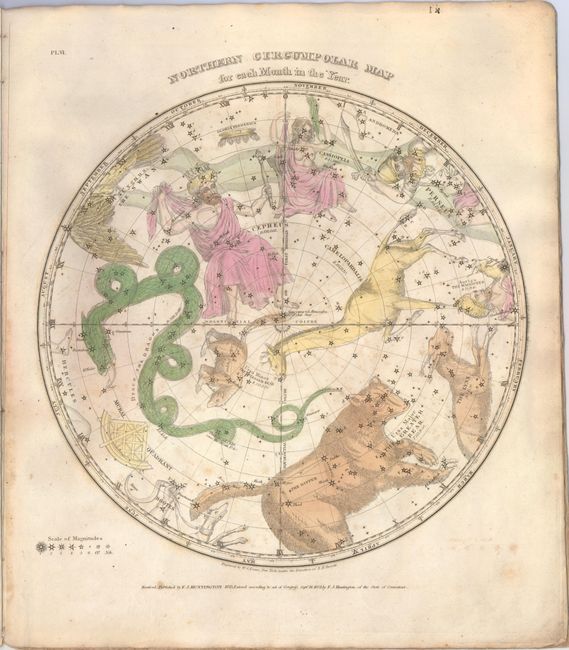
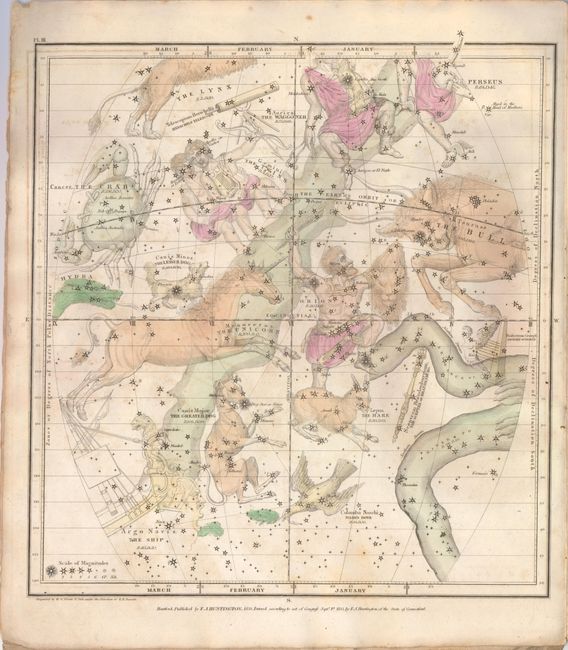
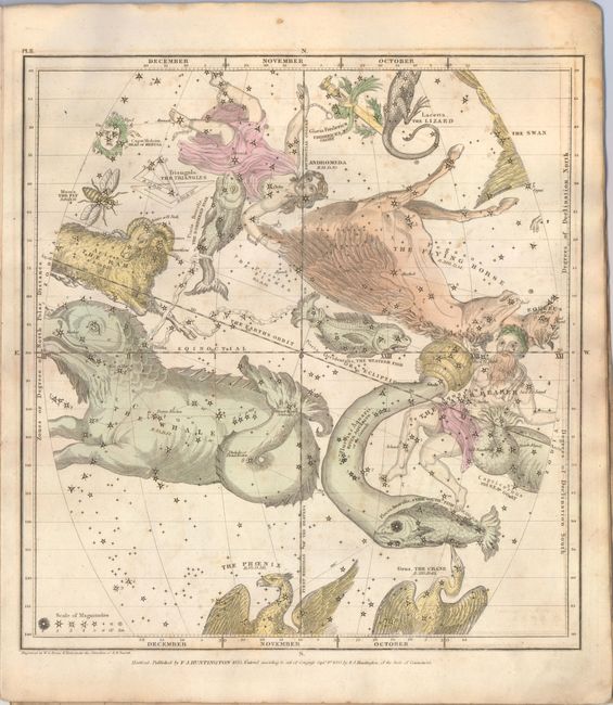
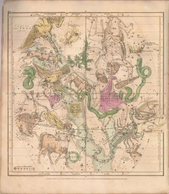
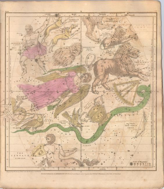
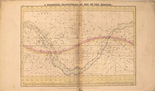
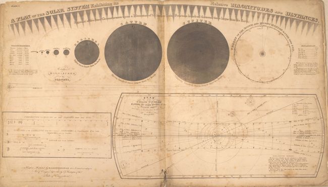
Subject: Celestial

Period: 1835 (published)

Publication:

Color: Hand Color

Size:
14.3 x 16.5 inches
36.3 x 41.9 cm
Download High Resolution Image
(or just click on image to launch the Zoom viewer)

Complete celestial atlas with eight charts of the constellations. This popular star atlas was intended for the general public, rather than for professional astronomers. Only the brighter stars and nebulae, and their allegorical forms, are depicted on the charts. The stiff paper covers include a vignette of astronomers using a telescope. Charts include:

1) A Plan of the Solar System Exhibiting its Relative Magnitudes and Distances...
2) The Visible Heavens in January, February, and March.
3) The Visible Heavens in October, November, and December.
4) The Visible Heavens in April, May, and June.
5) The Visible Heavens in July, August, and September.
6) Southern Circumpolar Map for each Month in the Year.
7) Northern Circumpolar Map for each Month in the Year.
8) A Celestial Planisphere, or Map of the Heavens.

References:

Condition: B

This atlas is nearly always found in poor condition, however in this example most of the charts are in B to B+ condition. The charts are in original color with light offsetting and scattered foxing throughout - primarily in the first chart and then quite light in the last few charts. The Plan of the Solar System also has a few small holes along centerfold at bottom of image and tattered sheet edges. The covers are heavily worn, chipped and almost completely detached. The verso of the first chart was stamped in 1841 by the previous owner, Jacob H. Landis, from Conestoga Township, Lancaster County, Pennsylvania.

Estimate: $400 - $500

Sold for: $750

Closed on 2/19/2014

Archived