Catalog Archive
Auction 148, Lot 495

"Europe. Spitsberg. No 1 (Ter)", Vandermaelen, Philippe Marie Guillaume

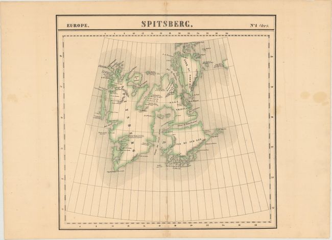
Subject: Spitsbergen, Norway

Period: 1825 (circa)

Publication: Atlas Universel de Geographie Physique, Politique, Statistique et Mineralogique

Color: Hand Color

Size:
19.2 x 19.1 inches
48.8 x 48.5 cm
Download High Resolution Image
(or just click on image to launch the Zoom viewer)

Vandermaelen was the son of a wealthy industrialist who abandoned his father's business to follow a career in cartography. His goal was to produce the first atlas ever published in which every map was drawn on the same projection and to the same scale (1: 1,641,836), with each map covering an area of approximately 20 degrees of longitude (from Paris) and 6 degrees of latitude. Because of the consistent scale and projection, the maps could be joined together to form a huge globe that would measure over 25 feet in diameter. Vandermaelen had the only known globe constructed from his maps, requiring a special room for its display. It was also the first lithographic atlas ever published. There was one edition of the atlas, published in 1825-27, and the subscription list shows that only 810 copies were sold. Koeman called his Atlas Universel, "One of the most remarkable world atlases ever made. Far ahead of its time."

This striking map depicts islands of the Svalbard archipelago in the Arctic Ocean. There is good coastal and topographical detail along with several notes throughout the map that indicate navigational hazards or details of the terrain.

References:

Condition: B+

Original color with spots of minor foxing along the centerfold and a faint stain that just enters the neatline at right.

Estimate: $140 - $170

Sold for: $100

Closed on 2/19/2014

Archived