Catalog Archive
Auction 148, Lot 482

"Hiberniae Pars Australis", Mercator/Jansson

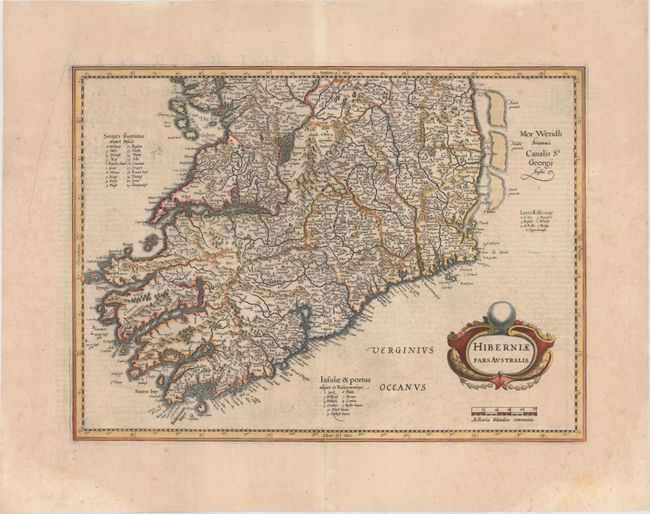
Subject: Southern Ireland

Period: 1638 (published)

Publication: Atlas Novus

Color: Hand Color

Size:
18.4 x 13.4 inches
46.7 x 34 cm
Download High Resolution Image
(or just click on image to launch the Zoom viewer)

This is the southern sheet of Mercator's two-sheet map of Ireland compiled from his landmark map of Britain (1564). It is one of five Irish maps Mercator designed for the second part of his Atlas. The map is richly engraved with strong topographical features in the interior. The sheet contains a large strapwork title cartouche and has full borders. The map was first published by Mercator in 1595, and was reissued by Jansson with the stippling removed and the title cartouche re-engraved. Latin text on verso.

References: Van der Krogt #5902:1.2; Law, pp. 19-20.

Condition: B+

A nice impression with attractive color, wide margins, and a printer's crease in left blank margin. There is minor show-through of text on verso, a few small spots of foxing, and an archivally repaired centerfold separation that enters 2" into map at bottom.

Estimate: $350 - $425

Sold for: $250

Closed on 2/19/2014

Archived