Catalog Archive
Auction 148, Lot 268
"Maryland", Finley, Anthony
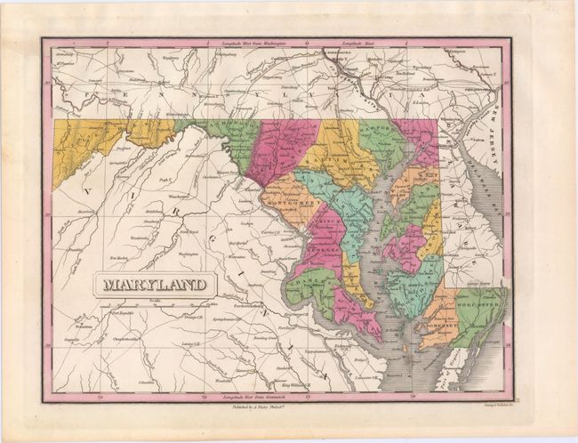
Subject: Maryland
Period: 1824 (circa)
Publication: A New General Atlas, Comprising a Complete Set of Maps…
Color: Hand Color
Size:
11.2 x 8.6 inches
28.4 x 21.8 cm
Download High Resolution Image
(or just click on image to launch the Zoom viewer)
(or just click on image to launch the Zoom viewer)