Catalog Archive
Auction 148, Lot 245

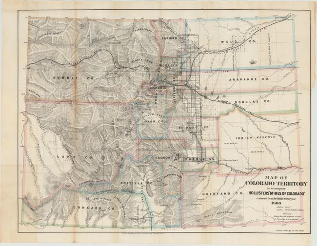
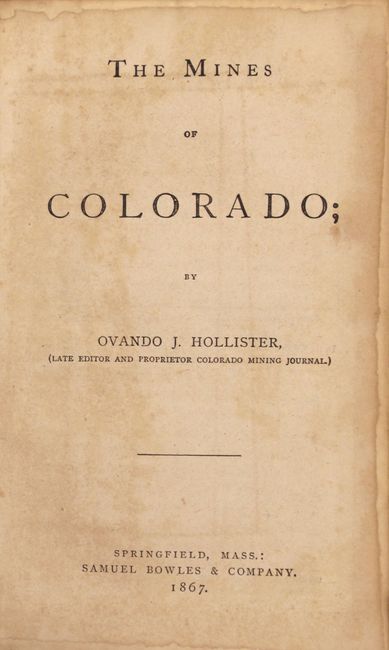
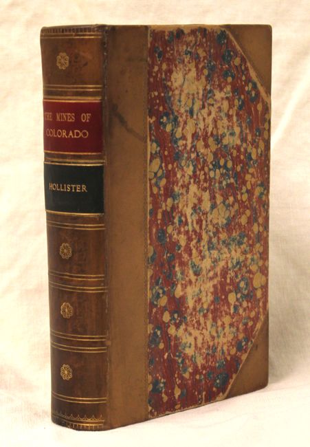
"Map of Colorado Territory to Accompany Hollister's 'Mines of Colorado' Corrected from the Public Surveys of 1866 [with book] Mines of Colorado", Hollister, Ovando J.

Subject: Colorado

Period: 1867 (published)

Publication:

Color: Hand Color

Size:
21 x 16 inches
53.3 x 40.6 cm
Download High Resolution Image
(or just click on image to launch the Zoom viewer)

This scarce map of Colorado shows great detail throughout. The map lists sixteen counties and a large Indian Reserve, which is divided into Cheyenne and Arapahoe tribes. There is extensive watershed information and mountains are shown in hachure. Locates all mining communities, forts, railroads, and more. The map is accompanied by an important book on Colorado: "The Mines of Colorado." It provides a view of the geography, geology, climate and agriculture with extensive information on over 165 mining enterprises. 450 pp. Hardbound in quarter leather with tips over marbled paper boards with gilt title on spine.

References:

Condition: B+

The loose folding map is very good with light toning along one fold and a binding trim at right and an associated 2" binding tear just touching Arapahoe County that has been closed on verso with archival tape. The book is internally very clean and sound with light wear to covers and spine.

Estimate: $750 - $900

Sold for: $550

Closed on 2/19/2014

Archived