Catalog Archive
Auction 147, Lot 567

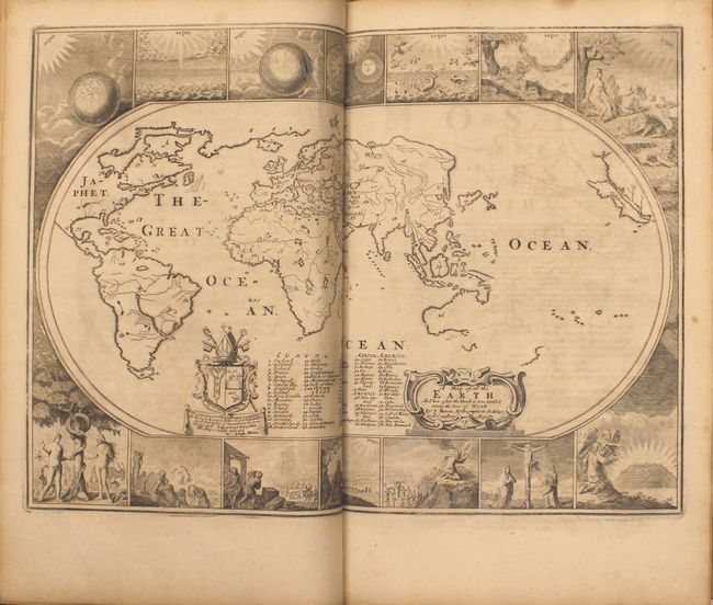
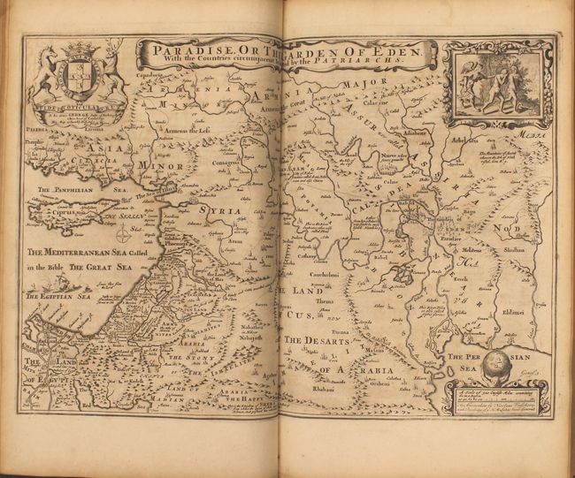
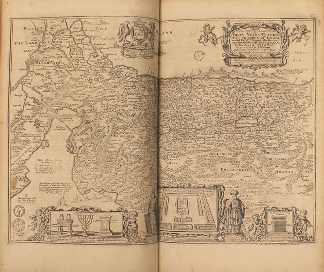
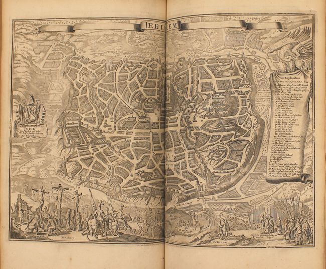
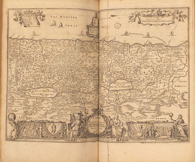
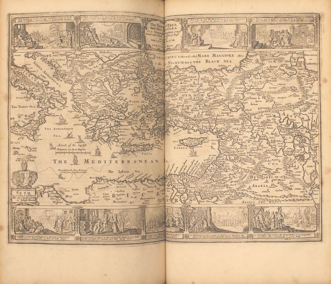
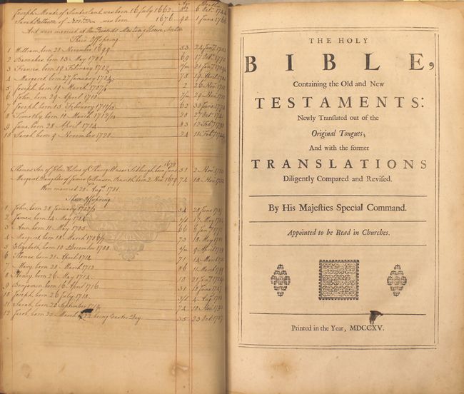
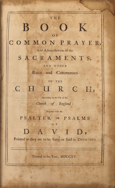
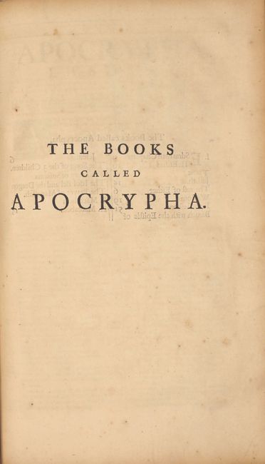
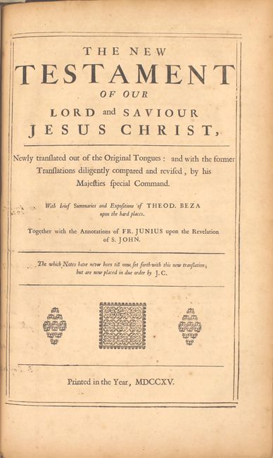
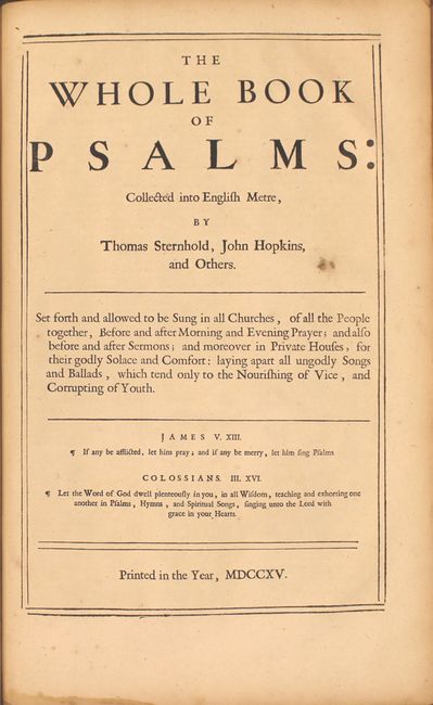
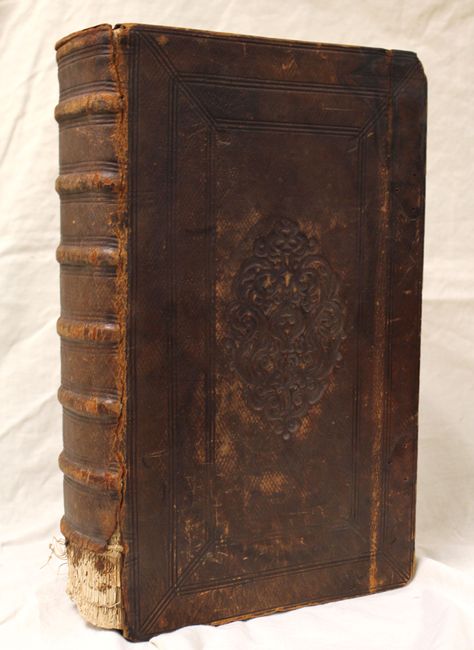
Holy Bible Featuring Set of 6 Biblical Maps

"The Holy Bible, Containing the Old and New Testaments... [bound with] The Book of Common Prayer [and 6 Biblical maps]", Moxon, Joseph

Subject: Holy Land, Bible

Period: 1715 (published)

Publication:

Color: Black & White

Size:
10.6 x 16.8 inches
26.9 x 42.7 cm
Download High Resolution Image
(or just click on image to launch the Zoom viewer)

This magnificent folio-sized King James Bible is bound with The Book of Common Prayer, The Books Called Apocrypha, The New Testament, and The Whole Book of Psalms: Collected into English Metre by Thomas Sternhold and John Hopkins. This edition of the King James Bible includes marginal notes from the Geneva Bible, an ironic combination because the Geneva Notes apparently played a role in King James' decision to commission a new Bible. In addition, this Bible features a series of 6 Biblical maps originally by Nicholas Visscher and translated from Dutch by Joseph Moxon:

A. A Map of All the Earth and How After the Flood it Was Divided Among the Sons of Noah. The map illustrates how the world was divided up among the sons of Noah after the Flood. It is centered on the Old World and only the place names are concentrated there. The rest of the world is shown only with continental outlines, rivers and lakes. The island of California appears across the expansive Pacific Ocean where there are partial outlines for Japan, Australia and New Zealand. A series of vignettes surround the map illustrating the Creation and the Garden of Eden at top, with scenes from the Fall of Man to the Crucifixion of Christ at bottom. Two cartouches further decorate the sheet, including a dedication to Gilbert Sheldon, Archbishop of Canterbury. This is the second state, with the addition of Pennsylvania marked on the map. Reference: Shirley #457; Laor #516A.

B. Paradise, or the Garden of Eden. With the Countries Circumjacent Inhabited by the Patriarchs. An attractive and uncommon map of the Middle East, including Cyprus, a portion of the Persian Gulf and the north shore of the Red Sea filled with details of Old Testament locations, including Babel and Nineveh. There is a coat of arms at upper left and a cartouche at upper right showing the expulsion of Adam and Eve from Paradise by the Angel. Reference: Laor #517.

C. Israels Peregrination, or the Forty Years Travels of the Children of Israel out of Egypt through the Red Sea, and the Wilderness into Canaan, or the Land of Promise. This lavishly decorated map of the Holy Land depicts the flight from Egypt and the wanderings of the Children of Israel. Includes a fine title cartouche, ships sailing in both the Mediterranean and Red Seas, numerous putti, several engravings of religious icons, Moses, Aaron, and a charming scene of Jonas and the whale. Reference: Laor #519.

D. Jerusalem. This detailed bird's-eye view was one of the most popular plans of Jerusalem during the seventeenth century. While it is imaginary, it provides great detail of the city walls and streets, with 36 principal sites numbered and keyed to a table in a scroll at left, which is held aloft by an eagle. Solomon's Temple is at upper center and Herod's Palace is located at the far left. The scenes in the foreground include the Crucifixion at left and Salomon's anointment at right. Reference: Laor #1084A.

E. Canaan, or the Land of Promise. Possessed by the Children of Israel: and Travelled Through by our Saviour Jesus Christ; and His Apostles. This fine map of present-day Israel is oriented with north to the right. There is a large, decorative title cartouche at bottom flanked by vignettes depicting the life of Christ. At top, putti hold banners with the key to the map and scale of miles. Tiny ships and the track of Apostle Paul are shown in the sea. At top center is a coat of arms with a dedication to Lord Bishop Humphrey. Reference: Laor #522A.

F. The Travels of St. Paul and Other the Apostles... This map portrays the Eastern Mediterranean from Rome, through Asia Minor and the Holy Land, to Babylon. Territorial divisions reflect the political conditions of the first century A.D. The route of Apostle Paul is charted from Jerusalem to Rome. The decorative panels at top and bottom show the major events of Paul's journey; each vignette being a composite of two or three episodes. The one at the left of the cartouche shows Paul's conversion, his baptism by Ananias, and finally his daring escape from the city. Other scenes depict the young Paul before his conversion, healing the paralytic, his ship wreck at Malta, and his appearance before Nero. At bottom left is a coat of arms with a dedication to Seth, Lord Bishop of Salisbury. Reference: Laor #523A.

This example also includes three pages of meticulous genealogical notes of the Joseph Maude and Thomas Holme families (from 1662-1863) written in delicate manuscript by a previous owner. 6 maps, 91pp, 719pp, 160pp, 248pp, 54pp. Original full diced paneled brown calf over beveled wooden boards, with a central, ornate blind-stamped lozenge to each board, and raised bands on spine. The original brass clasps and catches are no longer present.

References: cf. Shirley (BL Atlases) G.MOX-1a.

Condition: B

Five of the six maps are in very good condition with faint, scattered foxing and minor offsetting. The sixth map (Canaan) is in good condition with some show-through of old manuscript ink on verso. The text is mostly very good with light scattered foxing and toning, with heavy toning on the first and last few pages. The binding is sound but the hinges are starting. The front cover is cracked vertically near the fore-edge and has been professionally repaired. The spine is cracking and is missing a 4x2" piece at bottom. There is a bookplate from a previous owner (Rosa Walter Meertief, born c. 1872) on front pastedown.

Estimate: $1,800 - $2,100

Sold for: $2,000

Closed on 11/20/2013

Archived