Catalog Archive
Auction 147, Lot 473
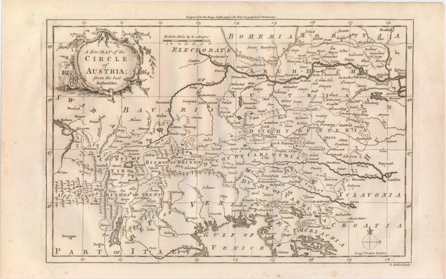
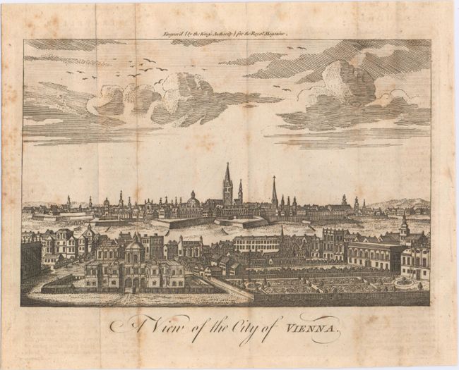
"[Lot of 2] A New Map of the Circle of Austria; from the Best Authorities [and] A View of the City of Vienna",
1 of 2
Subject: Austria
Period: 1759-60 (circa)
Publication:
Color: Black & White
Size:
See Description
Download High Resolution Image
(or just click on image to launch the Zoom viewer)
(or just click on image to launch the Zoom viewer)