Catalog Archive
Auction 147, Lot 402
"Carte de l'Entree de la Tamise avec les Bancs, Passes, Isles et Costes Comprises Entre Sandwich et Clay", Bellin, Jacques Nicolas
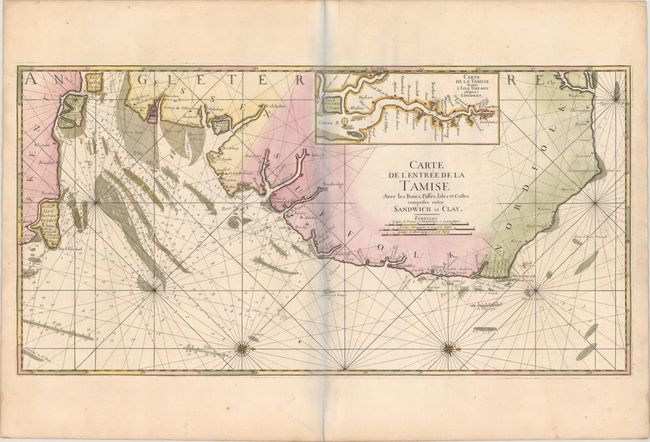
Subject: Eastern England
Period: 1753 (circa)
Publication: La Neptune Francois…
Color: Hand Color
Size:
35.3 x 18 inches
89.7 x 45.7 cm
Download High Resolution Image
(or just click on image to launch the Zoom viewer)
(or just click on image to launch the Zoom viewer)