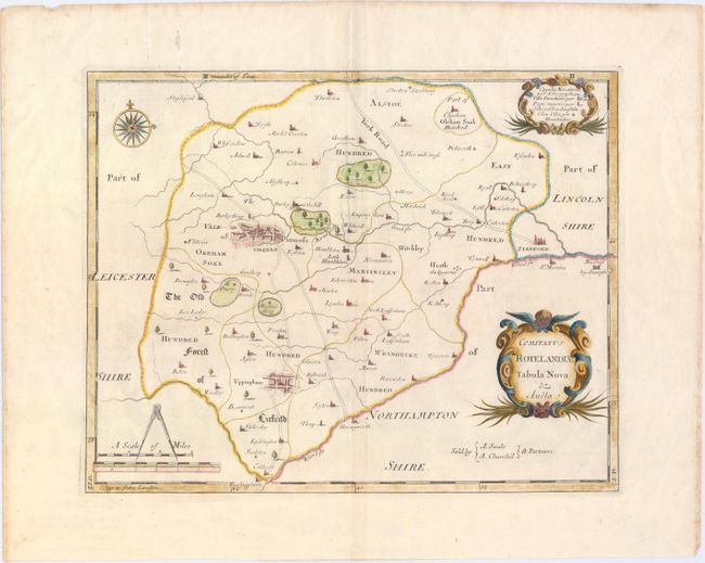
This is a close copy of Saxton and Speed's work and an early county map with roads delineated. The large towns of Okeham and Uppingham feature a street grid pattern in false 3-D. It locates forests, villages, rivers and the various districts including East Hundred, Martinsley, The Old Forest of Liefeild, etc. The bordering towns of St. Martins and the Burley by Stamford in Northamptonshire and Rockingham in Leicestershire are located. Distance scale with dividers, nice compass rose and two fancy cartouches complete a pleasing composition. Sold by A. Swale and A. Churchil.
References:
Condition: A
Wide, original margins with a lovely large watermark of a horse. There is some minor extraneous creasing, and a small stain in top blank margin, not affecting map.