Catalog Archive
Auction 147, Lot 370
"Carte des Isles Canaries, avec l'Isle de Madere, et Celle de Porto Santo", Bonne, Rigobert
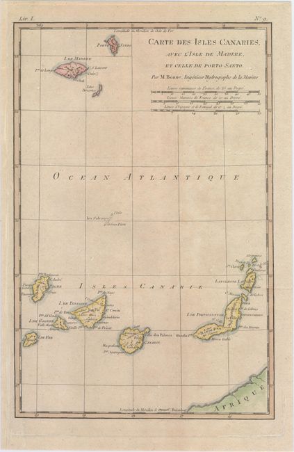
Subject: Canary Islands, Madeira
Period: 1787 (circa)
Publication:
Color: Hand Color
Size:
8.3 x 12.6 inches
21.1 x 32 cm
Download High Resolution Image
(or just click on image to launch the Zoom viewer)
(or just click on image to launch the Zoom viewer)