Catalog Archive
Auction 147, Lot 310
"Insula Antegoa ad Fidem Prototypi Londinensis Designata et Excusa", Homann Heirs
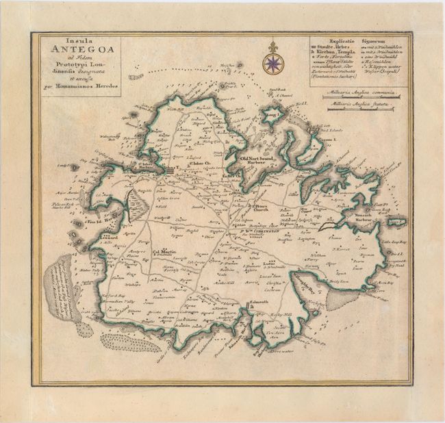
Subject: Antigua
Period: 1759 (circa)
Publication:
Color: Hand Color
Size:
11.1 x 10.3 inches
28.2 x 26.2 cm
Download High Resolution Image
(or just click on image to launch the Zoom viewer)
(or just click on image to launch the Zoom viewer)