Catalog Archive
Auction 147, Lot 220

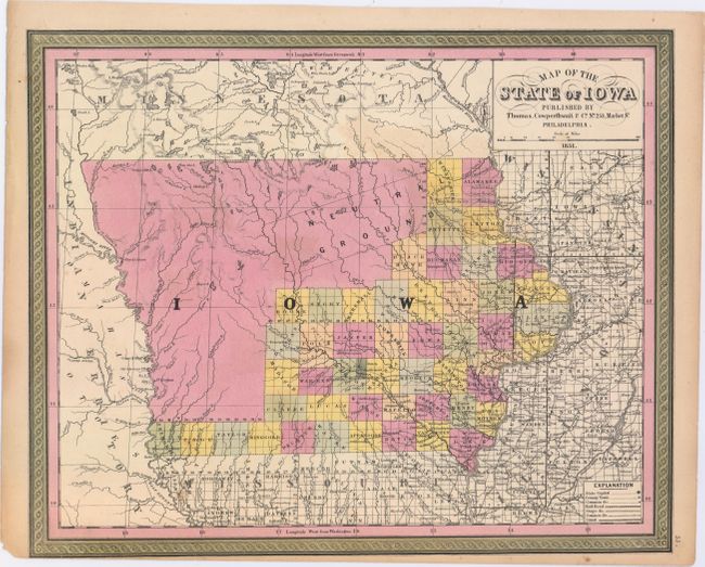
"Map of the State of Iowa", Thomas, Cowperthwait & Co.
Subject: Iowa

Period: 1851 (dated)

Publication:

Color: Hand Color

Size:
15.8 x 12.9 inches
40.1 x 32.8 cm
Download High Resolution Image
(or just click on image to launch the Zoom viewer)

A fine map of the state showing the extent of settlement. County development is confined to the eastern and southern portion of the state where a road network is beginning to take shape with many stage roads depicted. A large area in the mostly unsettled area of the north is named "Neutral Ground", which was a 40 mile by 200 mile stretch of land intended to keep the Sauk and Fox tribes from warring with the Sioux and Dakota tribes. A decorative border surrounds the map.

References:

Condition: B+

Original color with a couple of minor spots in the image and two edge tears that just enter the map border at bottom and have been closed on verso with archival tape. Narrow bottom margin as issued.

Estimate: $100 - $130

Sold for: $170

Closed on 11/20/2013

Archived