Catalog Archive
Auction 146, Lot 826

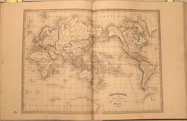
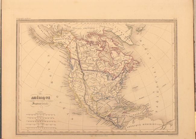
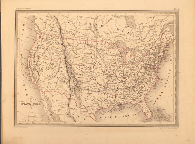
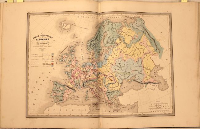
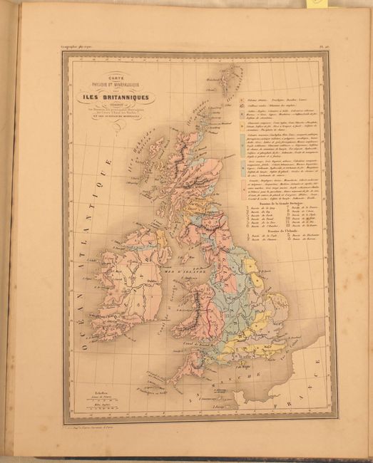
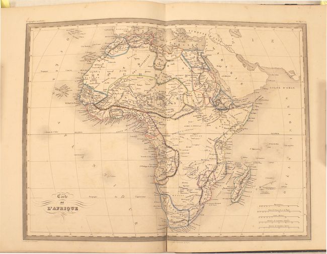
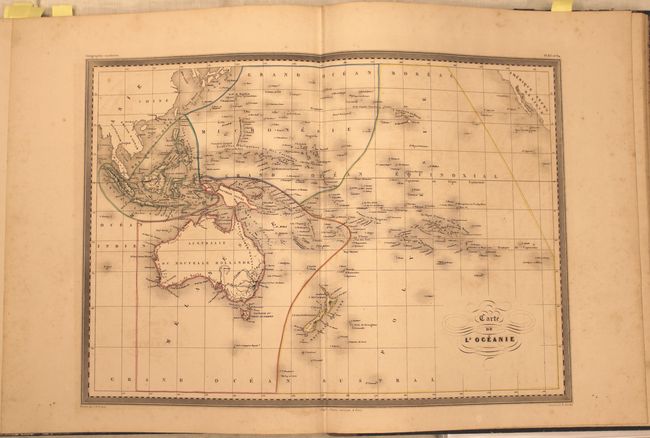
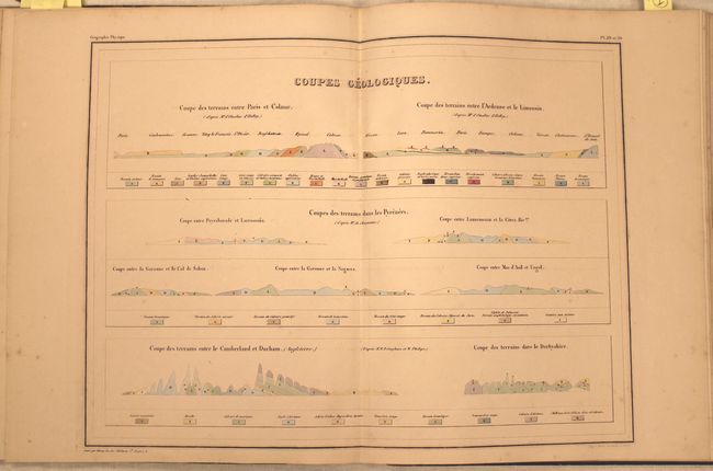
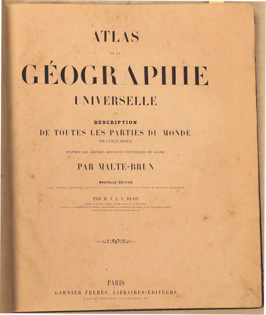
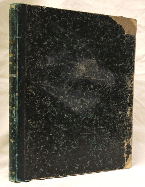
"Atlas de la Geographie Universelle ou Description de Toutes les Parties du Monde sur un Plan Nouveau d'apres les Grandes Divisions Naturelles du Globe", Malte-Brun, Conrad

Subject: Atlases

Period: 1850 (circa)

Publication:

Color: Hand Color

Size:
12 x 14.5 inches
30.5 x 36.8 cm
Download High Resolution Image
(or just click on image to launch the Zoom viewer)

This complete atlas contains 11 double-page and 60 single-page maps. The maps are primarily focused on European regions, but included are maps of each of the continents, the United States, and some regional maps of South America. The map of the U.S. shows an early New Mexico territory sandwiched between Upper California and the relatively new state of Texas. Outside of Oregon Territory, the western United States is not delineated, but instead shows Indian tribes and districts. The atlas also contains several attractive geological maps in full color of Europe, France, and the United Kingdom, as well as two profile charts. Folio, quarter calf over marbled boards.

References:

Condition: B

Maps are original outline color except for the four geological maps which are in full color. The maps are good to very good with light toning, occasional offsetting and foxing, and light soil in the blank margins. The binding is sound and the covers are worn with several chips of the marbled paper.

Estimate: $500 - $650

Sold for: $350

Closed on 9/4/2013

Archived