Catalog Archive
Auction 146, Lot 747

"Tab. IV. Africae, in qua Libya Interior et Exterior. Aethiopia Sub Aegypto et Interior...", Ptolemy/Mercator

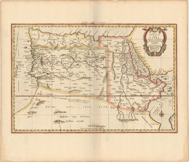
Subject: Northern Africa

Period: 1698 (circa)

Publication: Claudii Ptolemaei's Atlas Tabulae Geographicae Orbis Terrarum

Color: Hand Color

Size:
18.4 x 12.1 inches
46.7 x 30.7 cm
Download High Resolution Image
(or just click on image to launch the Zoom viewer)

This Ptolemaic map of Northern Africa shows the twin lake sources of the Nile located near the Lune Montes. The Niger River is prominently featured in Libya with its source in several interior lakes, then disappears under several mountain ranges and flows underground. Mercator originally published this map in his 1578 edition of Ptolemy's great Geography; this is from the last edition and a crack in the plate at bottom is evident in this example. Although Mercator is most renowned today for the projection he popularized and for first using the term 'atlas' for a collection of maps, he devoted much of his life to his Ptolemaic maps. The maps were beautifully engraved as nearly as possible to their original form and are the most decorative of Ptolemaic maps.

References: Mickwitz & Miekkavaara #234-6.

Condition: A

A nice impression on watermarked paper with wide, original margins. There are a few minor damp stains along sheet edges.

Estimate: $200 - $240

Sold for: $150

Closed on 9/4/2013

Archived