Catalog Archive
Auction 146, Lot 726

"Nouvelle Carte du Royaume de Bengale", Bellin/Van Schley

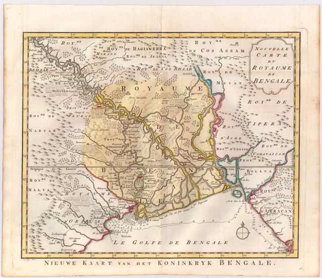
Subject: Northern India & Bangladesh

Period: 1750 (circa)

Publication:

Color: Hand Color

Size:
13.6 x 11.2 inches
34.5 x 28.4 cm
Download High Resolution Image
(or just click on image to launch the Zoom viewer)

This finely engraved map of the Kingdom of Bengal extends from Baleshwar, India to Sandwip Island, Bangladesh. The Ganges River is prominently shown crossing the map, and numerous towns are depicted, including Decca (Dhaka) and Ougli (Kolkata). The map also gives great detail of the mountains, forests and farmlands. A note along the coastline warns that it is not well known and extremely dangerous. Title in Dutch below map: Nieuwe Kaart van het Koninkryk Bengale.

References:

Condition: A

Issued on watermarked paper with original color and light toning along sheet edges.

Estimate: $140 - $180

Sold for: $120

Closed on 9/4/2013

Archived