Catalog Archive
Auction 146, Lot 678

"[Lot of 2] Persia, and Afghanistan [and] Persia",

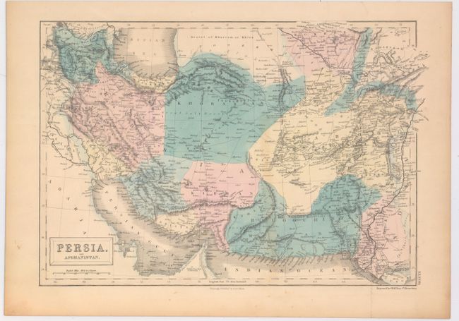
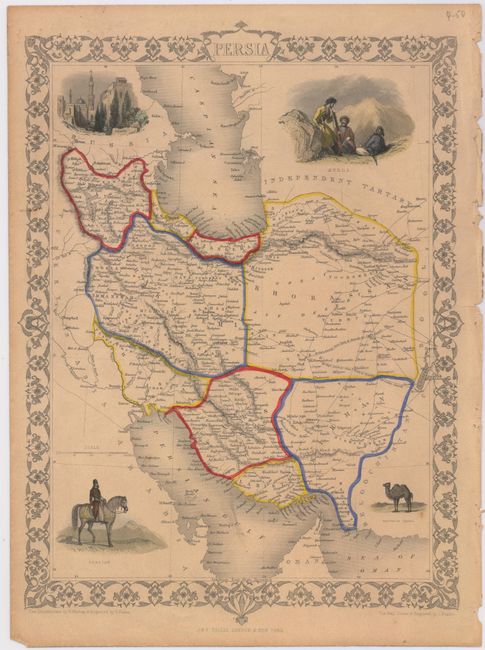
Subject: Persia - Iran

Period: 1850 (circa)

Publication:

Color: Hand Color

Size:
See Description
Download High Resolution Image
(or just click on image to launch the Zoom viewer)

A. Persia, and Afghanistan, by Sidney Hall, from General Atlas of the World (15.3 x 10.4"). This map includes Iran, Afghanistan, and parts of Pakistan and Turkmenistan, with good detail of towns, roads, and states. Published by A. & C. Black. Condition: Attractive original color with wide margins and just a hint of toning. (A)

B. Persia, by John Tallis, from Illustrated Atlas (9.8 x 13.8"). Tallis' map of Persia depicts modern-day Iran, filled with towns, roads, and topographical details. Surrounding the map are vignettes of the city of Isfahan, a group of Kurds, a Persian on a horse, and a camel. The map was drawn and engraved by John Rapkin and the vignettes were drawn by H. Warren and engraved by S. Fisher. Condition: Light, overall toning and a short tear that just enters map border at right that has been closed on verso with archival tape. (B+)

References:

Condition:

See description above.

Estimate: $200 - $240

Unsold

Closed on 9/4/2013

Archived