"[Lot of 2] The North West Part of Germany; Containing ye Dominions of ye Arch: and El: of Cologne... [and] Germany. Divided into Circles. Agreeable to Modern History", Moll, Herman
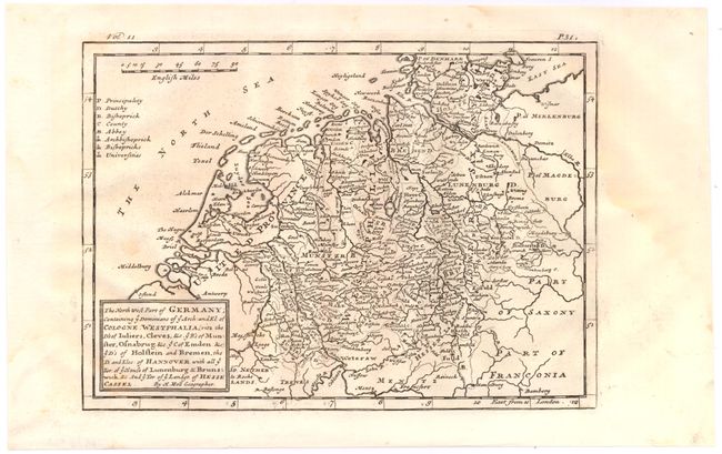
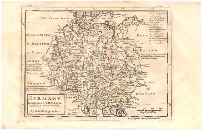
A. The North West Part of Germany; Containing ye Dominions of ye Arch: and El: of Cologne.... This small map extends to show the United Provinces (the Dutch Republic), Westphalia, and Lower Saxony, with parts of Saxony and Franconia in the east. A scale of English miles and a legend locating duchies, bishoprics. abbeys, and universities appear at the top of the map. Condition: A nice impression with a few faint spots in the image and a damp stain confined to the right side margin.
B. Germany. Divided into Circles. Agreeable to Modern History. This map depicts the German Empire with parts of its bordering countries. A table in the top right gives the distances from Vienna to twelve major European cities. A notation explains that Holland and Flanders no longer have a "Vote in ye Diet of the Empire." Condition: Light scattered stains in the image.